Happy Tuesday! It’s nearly a crime, but we’re beginning to hurry across Nova Scotia on our way home. Our ride covered 275 miles along the Trans Canada Highway and secondary roads, like Provincial Rt 236. It’s fun on the back roads though you have to pay attention to rapidly changing speed limits posted on Kilometers. A limit of 60 kph is about 37mph, a big enough difference. After two weeks you’d think it would be natural by now, but …. No tickets, thankfully. Yet.
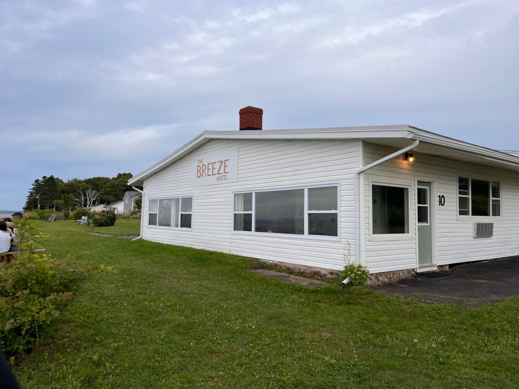
Our destination is a cute little motel we stayed at in 2013 called The Breeze. It has all of 10 rooms and is right at the shoreline. It is not fancy at all, but is plenty comfortable and offers a ringside seat for the antics of the Bay.
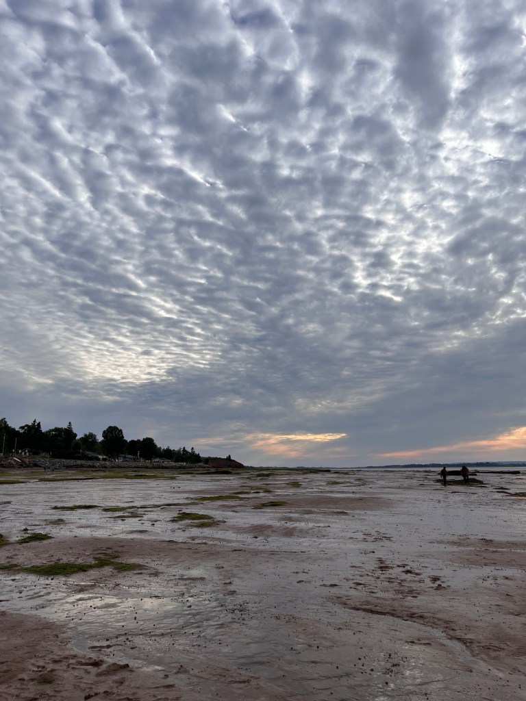
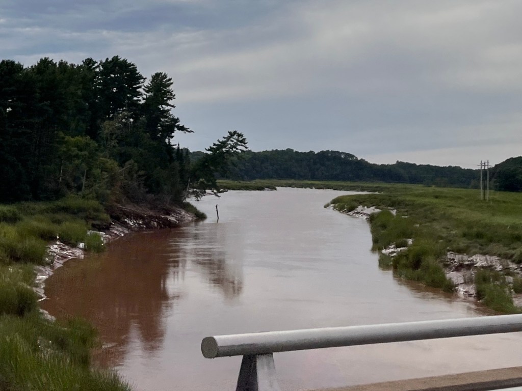
The Bay of Fundy has the largest tides anywhere in the world. Where most tidal changes elsewhere average about 3-5 feet, this funnel shaped bay between the provinces of New Brunswick and Nova Scotia has a range of about 50 feet. Where we are at Grand Pre, low tide finds the waterline nearly 1/2 mile off shore. Six hours later, water surges in to cover everything to the breakwater. It comes so fast that rivers flowing into the bay become tidal bores where surges of white water flow upstream. There are businesses that cater to upstream white water rafting, kayaking, even surfing. It’s nuts! It’s also spectacular.
We walked the mudflats this evening. Tomorrow morning, this will all be under water. The huge tidal change effects streams far inland
Tomorrow it’s on to Yarmouth and then our ferry back to Bar Harbor the next day.
At the moment everything is quiet and beautiful. We’re so glad we came here again.
Today’s ferry from Port aux Basque NL to North Sydney, NS took six hours. We left the port in Newfoundland in heavy fog. It seemed only fitting somehow. More magical.
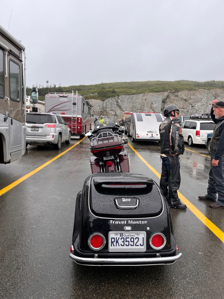
It started pouring while we waited. Oh well.
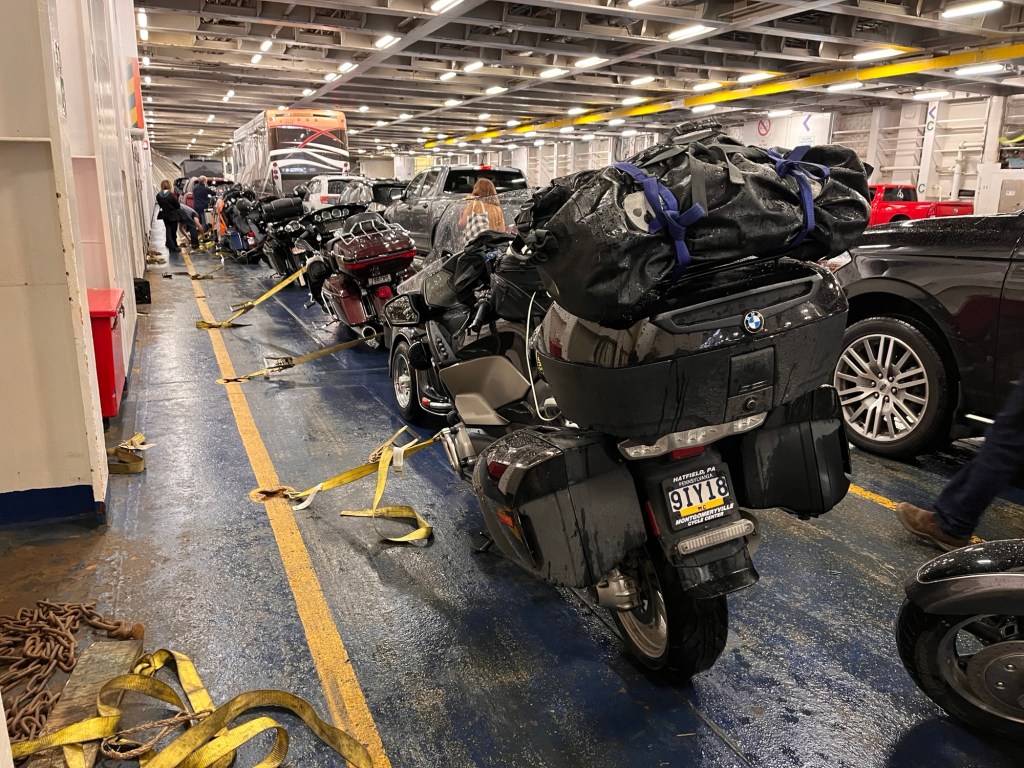
Riders are generally directed towards one lane for boarding. As a group we drive onto the ferry and into the ship’s hold. It’s an odd feeling at first.
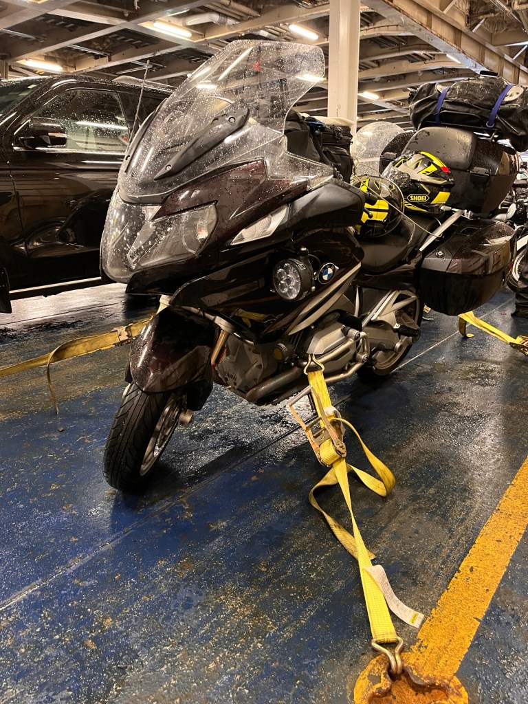
Everyone scurries about, grabbing tie downs and tamping down our bikes to the deck of the hold. Today we helped two older guys who were on the ferry with their bikes for the first time. They thought the deck hands would tie down the bikes. But they don’t. So Hank and I helped.
Shiney, nice and tight on the deck
After everything was right with the bike we proceeded up to the 9th deck of the ship to find our seats. They were reclining and comfy.
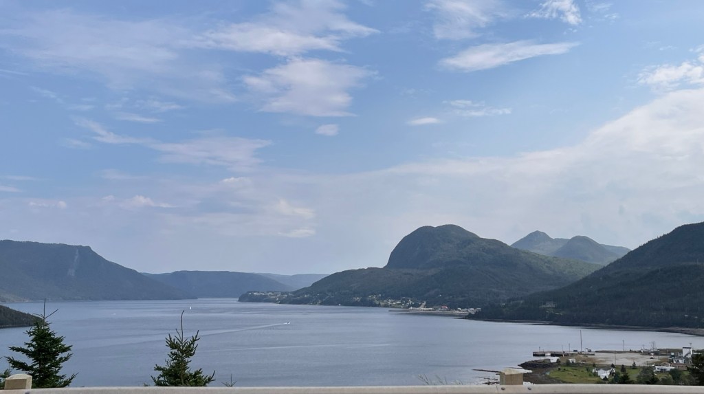
Good bye for now, Newfoundland (I took this photo from our seats)Nice and dry and comfy
Hank and I settled in with coffee and muffins and read our books all day. Around 5:00, we started to see the coastline of Nova Scotia.
There is an orderly process for embarking and disembarking the ferry. At about 5:50, everyone returned to their vehicles and by 6:00 (right on time) we rode off the ship.
Now we are in a little roadside motel for the night. Tomorrow we set out for the Bay of Fundy.
Apparently low clouds are common along the TCH in stretch called the “Wreckhouse”
We sadly left Rocky Harbor to head to Port Aux Basque and tomorrow’s ferry to Nova Scotia. Not much excitement beyond a welcome chocolate/vanilla twist cone on the way.
The Trans Canada Highway West ends right at Port aux Basque where we’re staying the night. We logged about 200 miles in the clouds and sunshine. We’re take a ferry from Newfoundland back to Nova Scotia. It leaves late morning and takes 7 hours to arrive in North Sydney. Seems like a good day for napping, if you ask me.
There is a patch of the Highway between Rocky Harbor and Port aux Basque that is called “Wreckhouse” where ocean winds cross largely unfettered and can reach tropical storm speeds. The winds have a notable history of blowing a train off its tracks. Today was a calm-ish day so we traveled comfortably. But we planned to come a day early just in case.
We’re staying at St Christopher’s Hotel, named for the patron saint of travelers. Pretty good marketing as it’s located nearly next door to the ferry terminal. The view overlooks the harbor and it’s blessedly quiet.
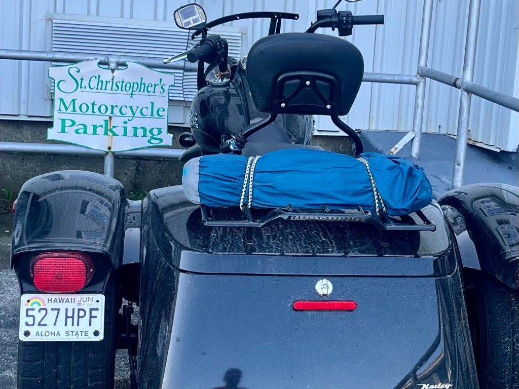
There is a mystery here. When we pulled into the parking lot, there was a Harley Trike parked a few feet away. Nothing startling about that, except it has Hawaii tags. How did he get it here? Will he ship it back? Why would you bring your bike when you could surely rent one? I’m sure I’ll waste a few hours on this one.
There’s not much to report as you can see. Maybe tomorrow?
At the suggestion of a rider we met Friday, we rode south toward Corner Brook on the TransCanada Highway past Deer Lake, then west on Rt 450, which follows the trail of explorer Capt. James Cook. The roads were a little choppy once off the TCH but the sights were worth it. It was sunny and clear at about 85F. All the towns and villages were clearly working towns built at the shoreline. There were vacation cabins, too, but you can clearly see the difference. The road ran out at Lark Harbor where we stopped for a bite at a nice little place called Myrtle’s On The Bay. On the way back we noticed the entrance to “Blow Me Down Provincial Park.” Really.
On the way to Lark HarborOn the way back from Lark Harbor
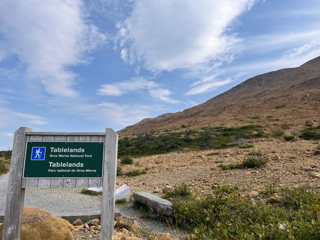
On the way back north, we diverted to the Tablelands in Gros Morne Park. They come by their name honestly because these huge hills are flat as a table on top. As I may have mentioned before, this geological feature is made of earth’s mantle that was beneath the ocean floor when two tectonic plates collided about 460 million years ago. (The mantle is super hot material beneath the crust.) This event continued the formation of this part of the Appalachian Mountain Chain by pushing mantle and immense quantities of sea bed up. The mantle at Tablelands was then gradually exposed by the procession of glaciers over the next millions of years. It’s fascinating and a bit overwhelming to see evidence of processes at work over such a long time span. Lots to think about.
The Tablelands
While at Tablelands, we encountered Jessica and Francois again as they prepared to hike. Their vehicle is a 1992 Chevy Conversion Van that belonged to someone’s father and has been restored. It provides them with inexpensive, mobile accommodations and it’s in great shape. Remember when you’d see these everywhere? Now they’re rare as hen’s teeth but they have one!
All told, we covered 260 fun miles today. Back at our room, we’re getting set for tomorrow’s ride to Port Aux Basque where we will pick up the ferry to Nova Scotia on Monday. It will be nice to ride towards home, but sad to leave this wonderful island.
Have a good night.
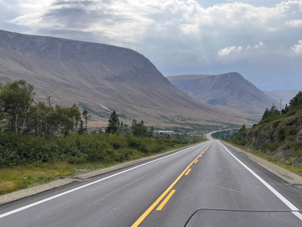
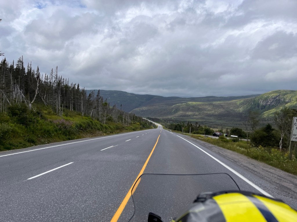
ps Connie takes the majority of her photos from the back of the bike. Hence there are lots of roads featured here.
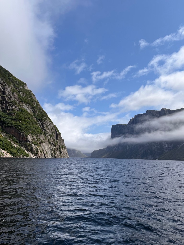
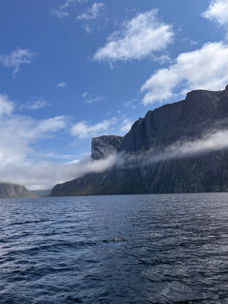
Today was a day to explore a bit. We rode and then walked about 3 kilometers to take an excursion boat on Western Brook Pond. It’s a fabulous place that almost nobody has heard of. Except Connie, who found it and booked it. (Connie says: No. It’s highly promoted by Newfoundland Tourism)
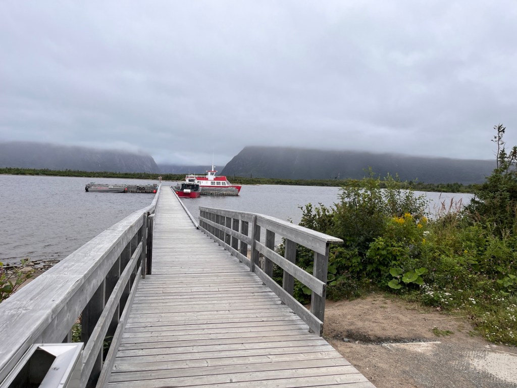
It didn’t look very promising when we set out
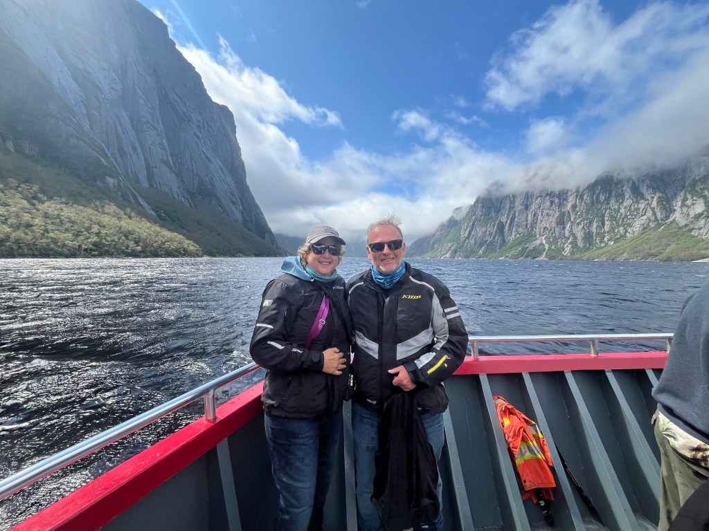
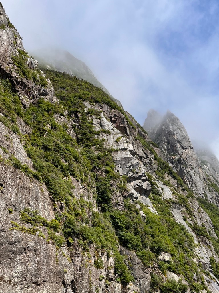
Western Brook Pond is a fresh water “fjord” carved out of the Long Range Mountains by a succession of 20 glacial ages over several million years. The Long Range is the northeastern extension of the Appalachian Mountain chain and covers most of western Newfoundland. When the glaciers were here, their weight compressed the land downward below sea level. After the last glacier receded over 9,000 years ago, the reduced weight allowed the earth to rebound. The lake is now totally above sea level and is one of the purest freshwater lakes in the world. With the exception of the excursion boats and a limited number of hikers, this area is untouched by humans and pristine. Connie got some great shots!
And then the fog started to lift
At the end of the tour we started talking with a young couple from Quebec, Jessica and Francois. We felt drawn to them and we were so thrilled to hear them echo our sentiments about the impact of travel on our lives. There are so many more nice people in this world than not. It makes us feel hopeful.
It was so great to meet you Jessica and Francois.
Our excursion took a large chunk of this afternoon. Our morning was spent inside because it was raining pretty hard. We devoted the early evening to laundry and lounging. Another good day off the road.
Our later evening’s entertainment will be fireworks presented by the town of Rocky Harbor in celebration of their summer festival. We can hear a band playing from our front door, and they’re quite good if you like Country.
An observation: food portions here are really big. Really big. Yesterday I ordered a burger and a small order of fries. The burger was at least 1/2-pound and the small fries weighed at least 1/2-pound. That’s the small portion.
A fish cakes supper comes with three hefty cakes, plus 2 toutons (fried bread) and baked beans, which I couldn’t finish for $16 Canadian. A lot of the food hereabouts is fried and could be called substantial. Come with an appetite.
Tomorrow some pleasure riding along the coast.
Sunset on Rocky Harbor a few steps from our doorway
A long day on the road, 265 miles from Twillingate in the east to near Gros Morne Nat’l Park on Newfoundland’s west coast. Quite a change! This is a mountainous region that is part of the great Appalachian Chain that starts in central Alabama, runs through Georgia, West Virginia, New England and finally Canada’s east coast.
The Appalachian Chain was formed over the course of 900 million years, from 1.2 billion to around 250 million years ago from collisions by immense tectonic plates. The last big push upward finished about 240 million years ago when parts of the Appalachians were about as high and rugged as the Rockies. Erosion over such a long time and glacial grinding have reduced the mountains to what we see today. It blows my mind the think that where Connie and I are sitting right now, the ice was more than a mile thick at one time.
Nope. We didn’t get rained on.
Gross Morne Park is named for Newfoundlands second highest peak at about 2,600 feet. Not very impressive compared to Pikes Peak or Dinali or the Himalayas, yet substantial for this area. This is a UNESCO Heritage site because former ocean floor and portions of the earth’s hot mantle that were thrust upward when the mountains were formed are now visible on the surface. (This is exceedingly rare, hence the UNESCO designation.) we are excited to have a chance to walk on this ground in the next day or so.
Some passing thoughts.
Newfoundland has approximately 510,000 residents in 2024. The Caribou is the national animal. There are far more moose than caribou, nearly 200,000 according to local warnings. That’s a moose for every 2.5 persons. And they’re really big, tall, and ugly and mean. There ain’t no Bullwinkle in it. They are not afraid of people or cars or much of anything, but come out mostly from dusk to dawn. During the rut they will likely attack as not. Canada has posted many warning about the need to slow down and be alert on the roads. Riding a motorcycle makes us particularly sensitive to the warnings.
Some of these signs include the number of moose collisions this year and last.
That being said, the provincial department of transportation takes it upon itself to clear road sides back at least 100 feet on each side in order to give motorists a chance to see and avoid moose as they cross. Remember, moose don’t care about cars. We noticed some crews who are going further, by digging very deep and wide trenches along side roads to slow the critters down. It’s fascinating. Sure hope it works.
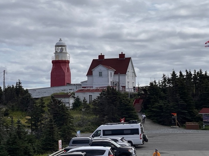
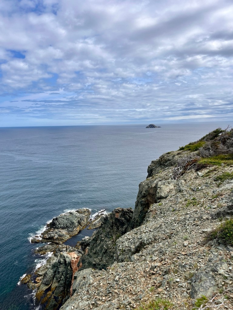
Like the title says, this has been a bit of a down day with Lolly-Gagging and slow motions. A bit before noon, we mounted up and rode the 5 miles to Long Point Lighthouse, set high on stunning cliffs overlooking the Labrador Sea. Following a short trail, we came to a lookout at cliff’s edge that allowed us to view small rocky islands offshore festooned with birds, and a smaller whale (maybe a young Humpback according to a local source).
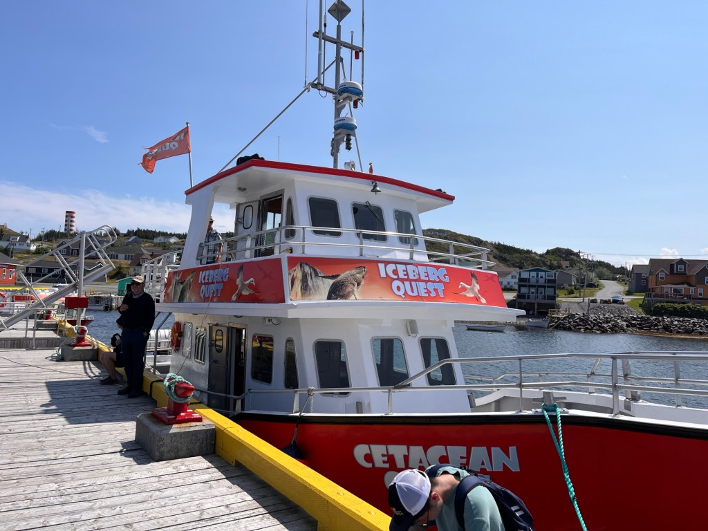
We returned to town in time to get an excursion boat to see some whales up close, which we did. Magnificent creatures!
On board we met Jerry, a crewman originally from Ontario. He’s retired now from manufacturing operations for a huge auto parts plant across the border from Detroit. He and his wife, Jackie, found a home near Twillingate big enough to host the grands and select parental units each summer. They love small town life (Twillingate has around 2,100 residents) and don’t miss big town amenities. For those they cane go to Gander with 9,000 folks and an airport. Fun, gregarious and smart, my guess is he works on a boat to earn a few shekels and keep out of Jackie’s hair.
So lucky to see a humpback whaleThe coast line is so rugged.
We returned to the pier in midafternoon and made our way to Pier 39, a small restaurant we enjoyed last night. After a great meal we walked back to the inn and are settling in for the night. Tomorrow is a long day riding to Gros Morse, a famous park in Newfoundland. Happy and relaxed, it’ll be an early night.
We are impressed with how hard working the folks we have met are. Our waitress from last night, Juanita, and her serving partner were back again this morning serving breakfast despite an hour drive each way. She works six days a week yet presents as a dynamo of good cheer and humor, and we fell in like right away. Hard to find an ambassador of good will greater than Juanita, though we’ve met many who are kind and gracious. She will take her day off this week to see her doctors in St John’s, 3 hours away.
Thanks for making our day, Juanita
This, we think, gets to the fact that Newfoundland’s economy is greatly dependent on fishing and tourism. The whole “make hay when the sun shines” seems true in spades for so many here: when folks visit from out of town, they need to eat and sleep and recreate and everything else. Make folks happy and they’ll come back and maybe bring their friends. The genuinely kind spirit of these people matches perfectly with the wants and needs of visitors.
That’s our take, anyway. And we feel it is just and proper. I’ll get to that in another minute.
We rode about 215 miles to Twillingate today, with a stopover in Gander. You may recall that on 9/11, there were hundreds of aircraft flying when the US closed its airspace in response to the terrorist attacks. That included many passenger jets that were over the North Atlantic who were forced to either turn around if there was sufficient fuel, or find another airfield outside the US to land.
The field at Gander, NL had once been an air base for the Royal Canadian Air Force , but was used less after the end of the Cold War. On Sept 11, 2001, it became a refuge for 38 airliners who carried nearly 6,500 passengers and crew. Other fields in Canada that could handle large aircraft, like Halifax and Vancouver, also took in many planes. Folks needed to eat and sleep and bath and so forth. The town of Gander, however, had only about 9,000 inhabitants. Thus started Operation Yellow Ribbon, in which municipal facilities and workers, local folks and folks in neighboring towns opened their homes, kitchens, cars and trucks, clothes closets and laundry rooms for these people they did not know but who needed them.
We spoke with Brian, who works with Gander Town and took part in his community’s response. He told us that grocery and clothes stores from Newfoundland, Nova Scotia, the other Maritime provinces, and the eastern mainland just voluntarily re-routed trucks destined for their stores to Gander. There was a need to meet and work to do. And it was done with good cheer.
Brian reports that of the people came from 92 countries, speaking dozens of languages and some representing the most privileged elites. No one among the stranded passengers kicked up a fuss or demanded special treatment. Not one person among the hosts complained or showed resentment.
Speaking personally, this story has always moved me greatly. This is how life is supposed to be lived: Where there is need, meet that need. And thus friendships are made.
Compassion Monument
There’s a Memorial to Operation Yellow Ribbon placed in front of Town Hall. On a 9,000 pound Newfoundland granite, a plaque and a piece of the Twin Towers are bolted. The steel piece had been donated by the Bethpage, NY FD, who themselves were gifted it for their gallant response at the scene, which cost the lives of 70% of their crews. It was a gift of thanksgiving for the inspiring, selfless service at Gander.
Newfoundland is sometimes called the Rock: a solid, steady and safe haven. With people to match. Thus the memorial was designed with a place to sit and reflect.
It brought back some meaningful memories of that time. Connie and her co-worker, Tom Keevey, worked to staff the NJ Family Assistance Center at Liberty State Park with companions to give assistance to families of NJ victims. These companions were comprised of volunteers from throughout NJ as well as across the US (and include Hank).
So many people from around the world came together to help those affected by a senseless act of violence.
We hope you will indulge us for this homage. This has been a moving day.
We set off from Dildo (stop snickering!) this morning headed toward Bonavista on the northern tip of the peninsula that bears that name. While the ride was pretty for the most part, it was the destination that was more important today. Our route included the Trans Canada Highway (TCH) through Clarenville to Rt 230 north. This was an inland route that got quite warm, into the high-80’s for goodness sake! About lunch time we crested a hill coming into Port Rexton and we met a delicious sea breeze that cooled us wonderfully. It was like coming into air conditioning but without the equipment.
Shortly thereafter we pulled into a little restaurant called “The Two Whales”, which specializes in vegetarian food. We didn’t know that coming in, but are glad we did. They grow their own food as a part of a co-op so everything is very fresh and good. (They have vegan options, too). We eat a lot of meatless meals at home so this was in our wheelhouse. We can recommend it!
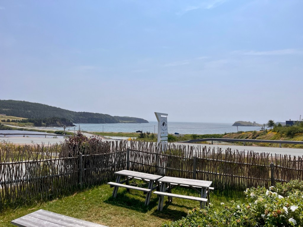
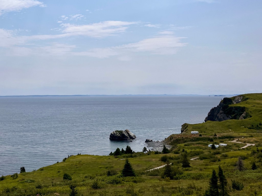
View from our lunch stop
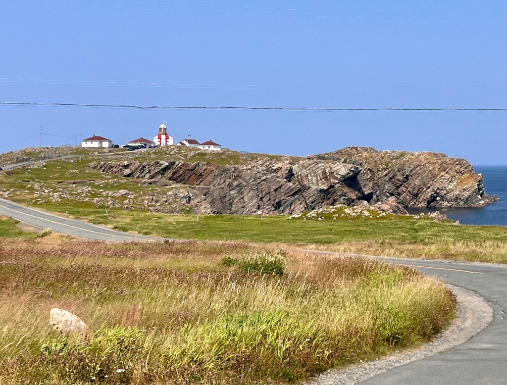
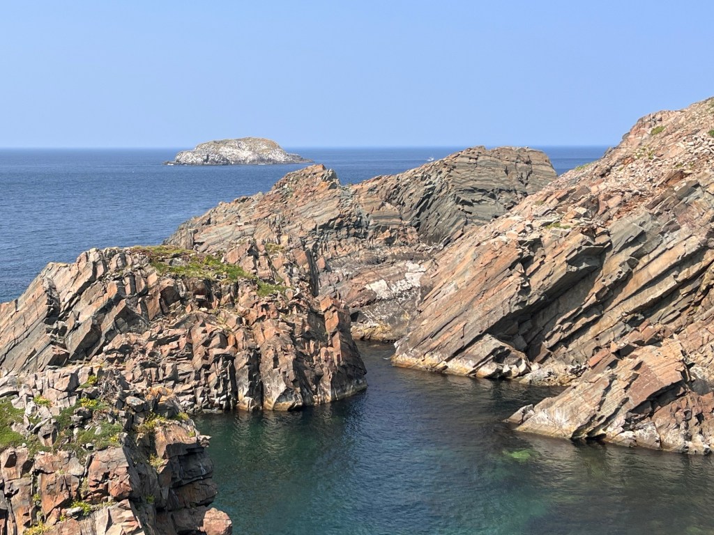
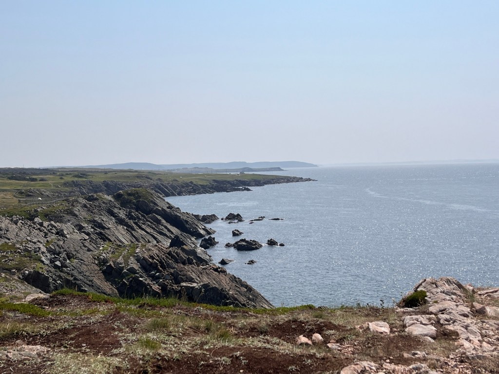
Suitably refreshed, we continued up Rt 230 to Bonavista Lighthouse, at the northern tip of the peninsula. It did not disappoint. The strata of rock were thrust up by titanic tectonic collision millions of years ago to create towering bluffs that have partially eroded away. The result is a craggy coastline with protected harbors and also any number of dangerous shoals. Hence the lighthouse, which guided and warned mariners from 1843 to 1962. It has been replaced by an automated light. Newfoundland and Labrador Parks Commission has done a nice job of preserving the site for the public.
We took a walk out on a promontory overlooking the bay to the west and just luxuriated in the austere beauty all around. While we have pictures, we especially loved sitting, listening quietly while the wind, surf and bird calls washed over us.
As we were getting ready to leave, we met Daniel, who grew up in Bonavista but moved away in the late 60’s. Like many (most?) of us, he never really appreciated what he had here growing up. Coming home from Toronto to visit family, he now sees how special his home was. We had a great time getting to know him a little and hear a few select stories.
One story spoke to his having grown up in a very small town. When Connie and I mentioned we were headed next to Ellison to catch sight of some Puffins, he laughed and said that he only dated girls from Elliston, or Catalina, or Port Rexton, or other towns not Bonavista. That’s curious. It seems that since everyone knows everything about everybody from infancy forward, the only chance one had to start fresh in a relationship is to head out of town. It never would have occurred to me until now, but this cultural practice makes a kind of sense, especially when it comes to preserving one’s reputation.
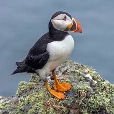
We rode to Elliston in search of the world famous Puffins. Fun looking birds, though we didn’t see any. Gulls there were a plenty, and cormorants, too. But no puffins today. We’re hoping we may be more fortunate in the days ahead.
This is a puffin. Cute, isn’t it?
It was another fun day, but now to bed. Have a good night.
We headed out from St John’s this morning and left the Avalon Penninsula behind to explore the peninsula to the west, heading finally in Dildo, NL on the southeastern corner of Trinity Bay.
Yes, you read that right. The town, which has only a few hundred residents, was first referred to in 1711, though it’s not known exactly how it got its name. Before you snicker too much, a “dildo” was a long tubular pin used in an oar lock on a rowboat in order to pivot an oar. It was sometimes referred to as the “thole pin” or “dole pin”. The word, of course has other meanings but we will slide by that here.
Yes, this hillside sign exists
Our ride here involved following the coastline of Newfoundland’s central peninsula a long Rtes 70 north and 80 south, a total of 160 miles. The sky was clear and visibility was excellent again, so the views were so beautiful.
We made a couple of stops along the way. One was in the tiny town of New Melbourne, just at the top of the peninsula, is so small it doesn’t have a listing in Wikipedia. We pulled over in front of a house with two big Rose of Sharon trees. The owner, Jim, came out to say hello and make sure we were okay. A tall man with white hair and mustache, Jim was happy to share a bit of his background as a retired fishery worker and was happy to hear what brought us to his doorstep. Again, we met kindness and consideration and warm welcome. His accent was very strong, making his words almost musical. In other circumstances we would have been glad to stay and chat a while.
A bit farther along, we came upon Hearts Content, an important small town that hosted the station where an international telegraph cable came ashore. In 1866, the company that would become Western Union successfully laid underwater telegraph cable for the first time from Valentina Island, Ireland that terminated in Hearts Content. From there, telegraph traffic moved via cables to Nova Scotia, Montreal and New York City. This required an entire industry built around telegraph operators and technicians to keep the flow on information moving between Europe and North America. This innovation was central to modernizing global finance, marine traffic schedules, news from around the world, so forth. It made happenings around the globe more immediate and made the world smaller. The station remained active through 1965 when other means of communication became available. It’s a fascinating place and worth a stop.
1901 Map of transatlantic cables
We pulled into our B&B around 4:30 and started to unwind. The Inn where we are staying is called Inn By The Bay and is just a few yards from the water. It’s a lovely converted old home and we feel very fortunate to stay here. Supper was at the Dildo Brewery down the street where we had opportunity to purchase apparel with the appropriate logos. And the food was good, too.
Tomorrow’s weather looks to be good for riding. But that’s another story.