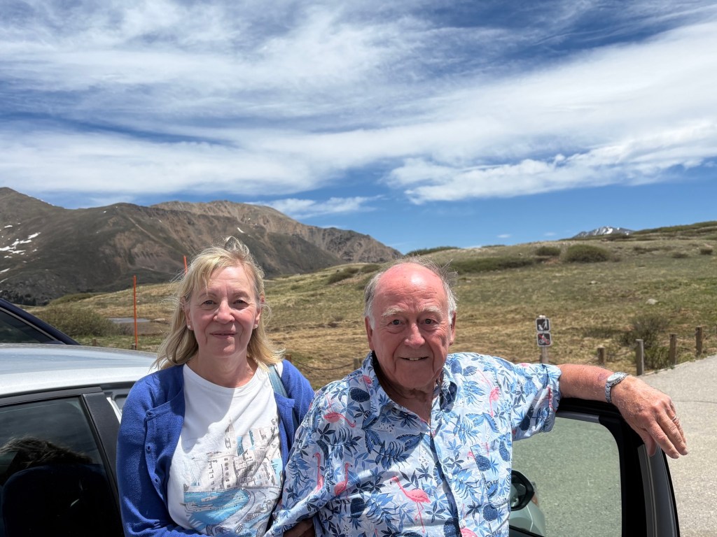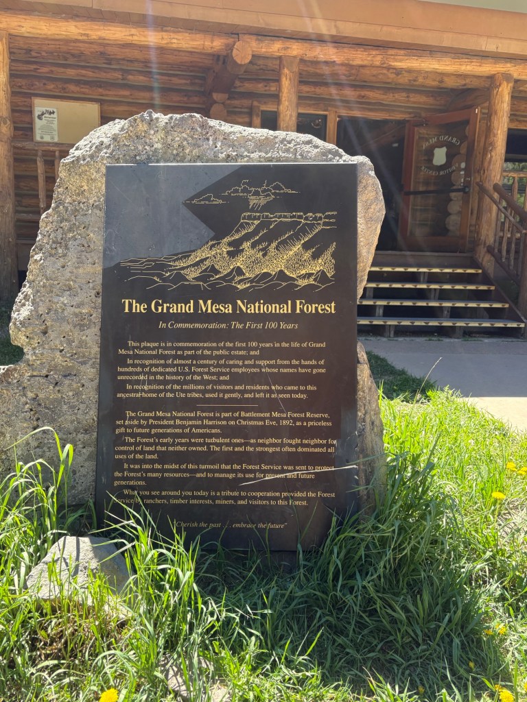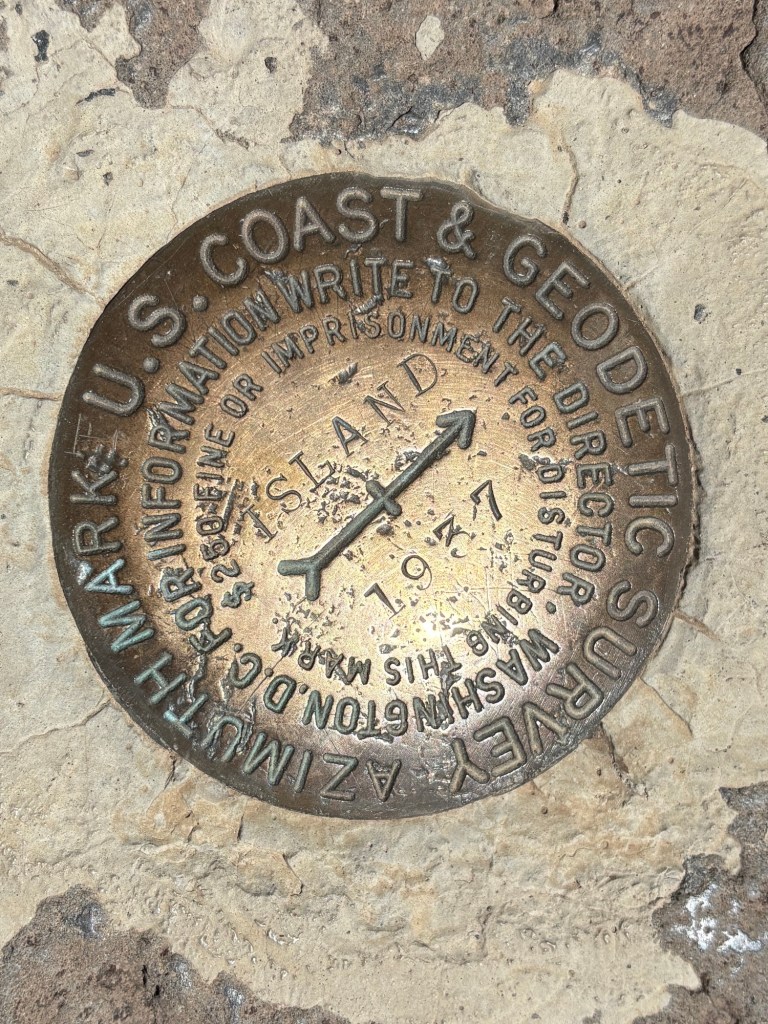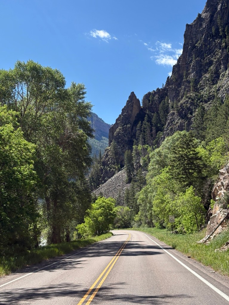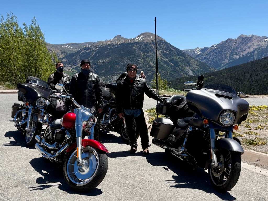
Today was the Trail Ridge Road (henceforth TRR ‘cause it takes too long to write) through Rocky Mountain National Park. It’s such a popular place that the National Park Service requires reservations online to enter the Park between 9am and 2pm. There’s a $2 fee for the service, but no additional cost beyond the regular gate fee. Which we don’t have to pay because I got the Senior Pass which gains us entry in all Nat’l Parks. Pretty nifty.
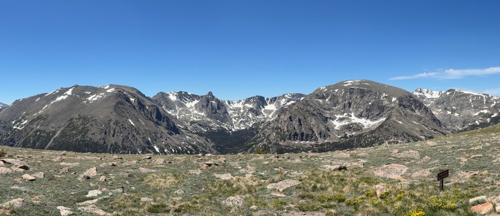
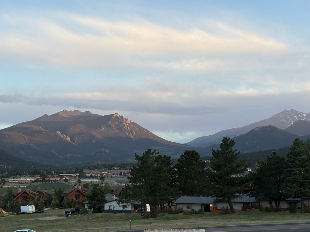
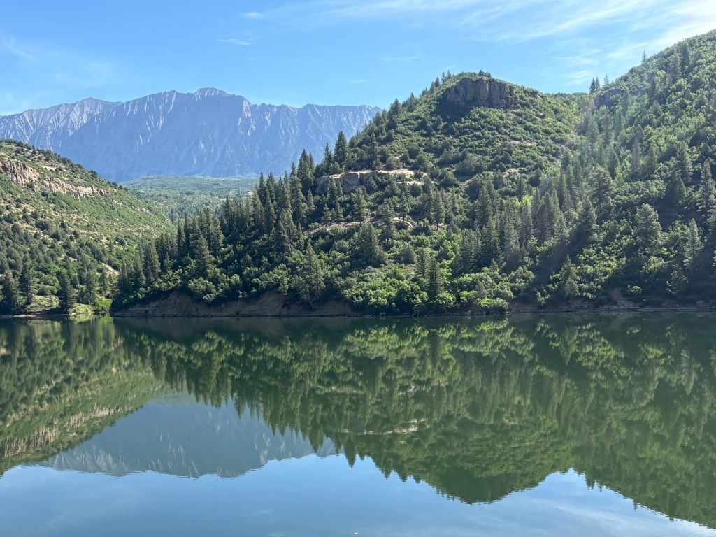
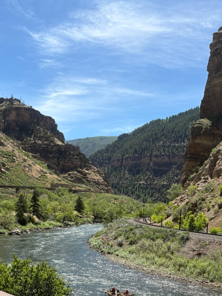
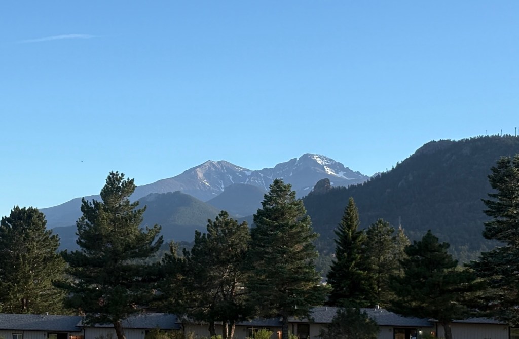
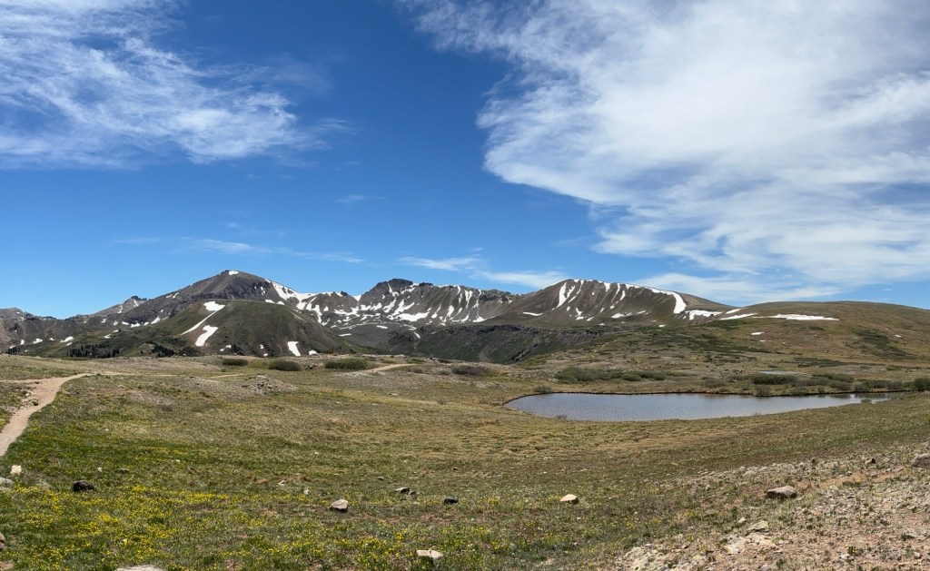
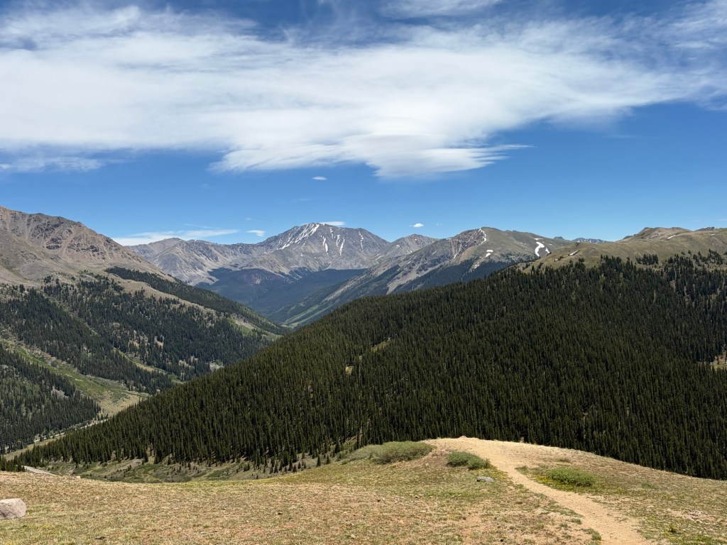
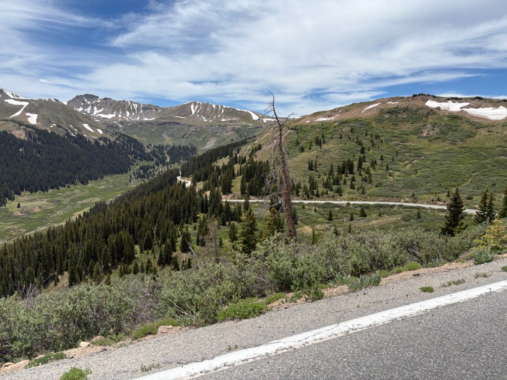
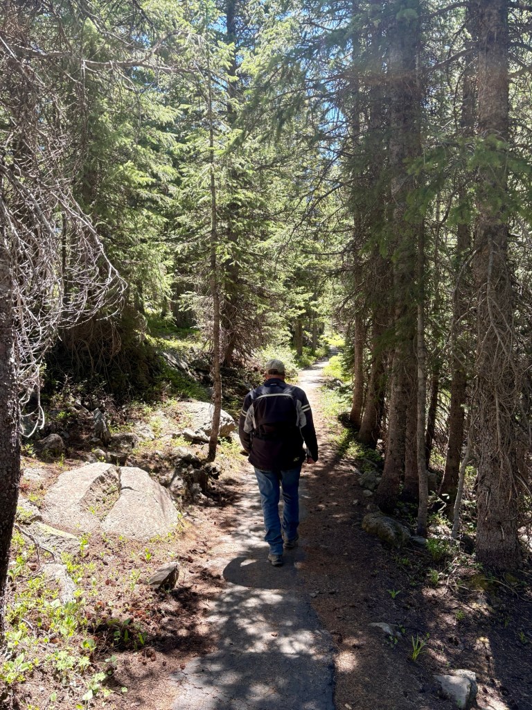
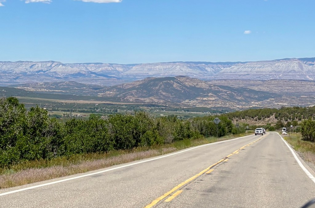
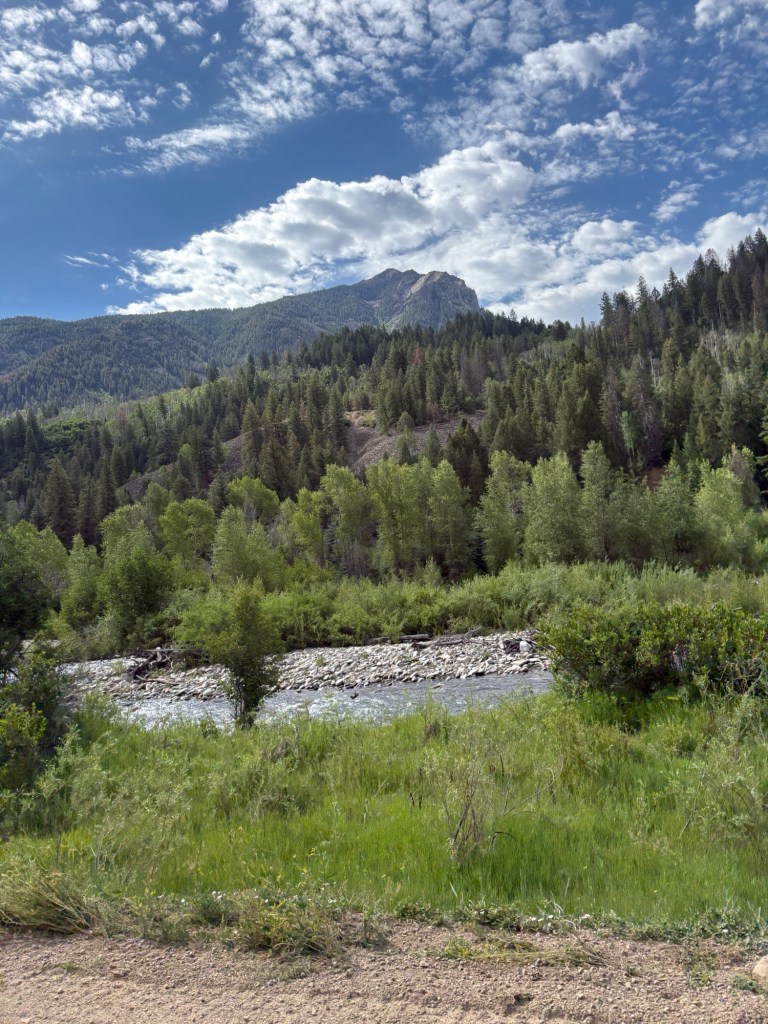
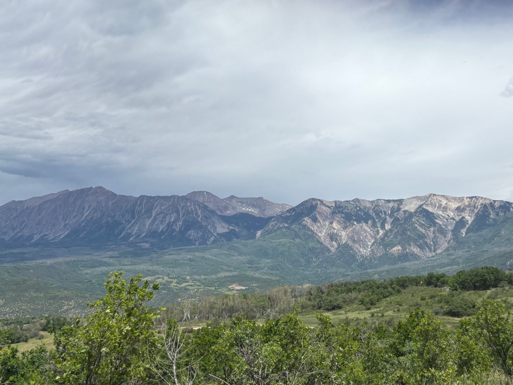
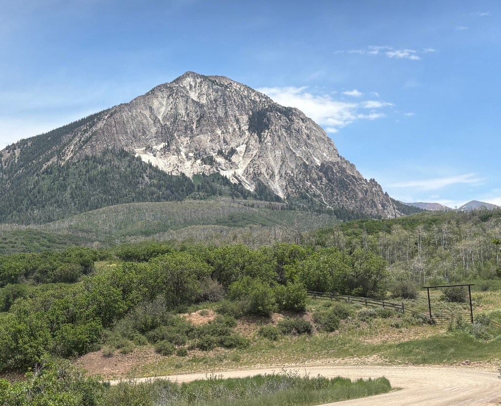
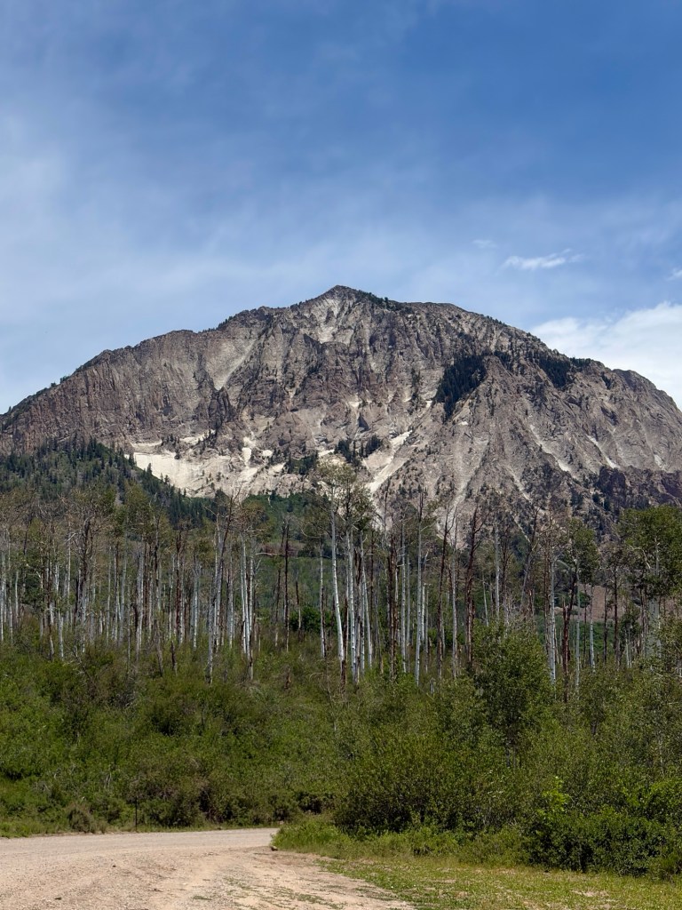
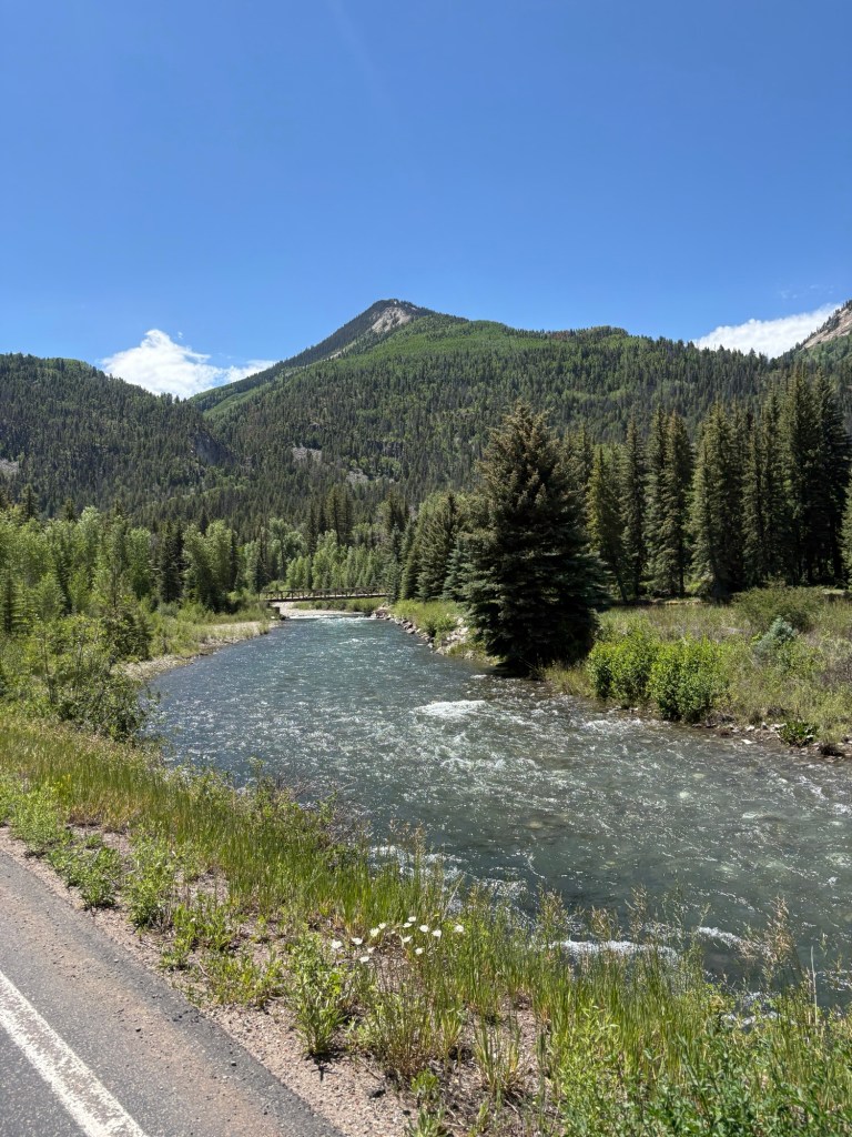
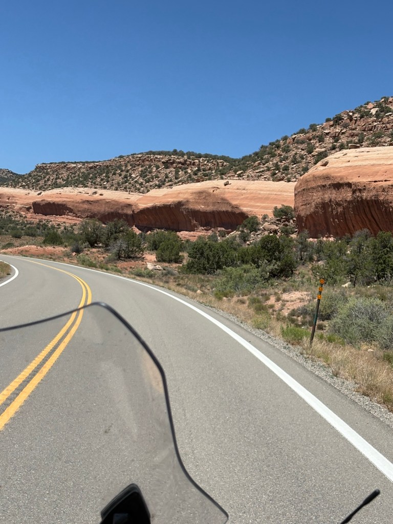
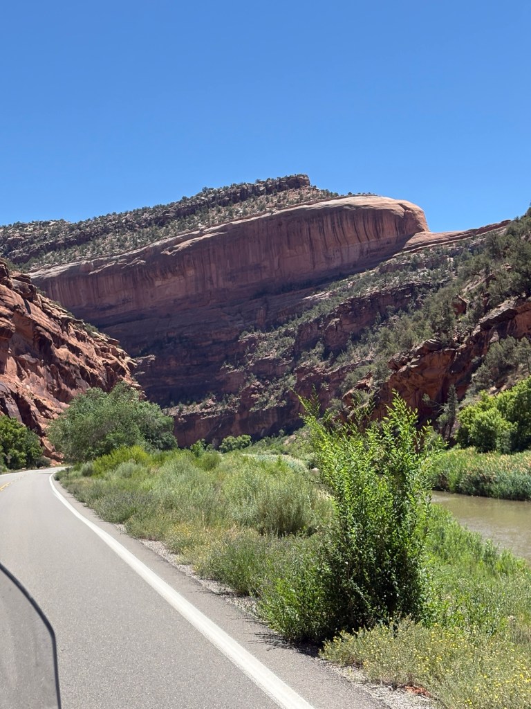
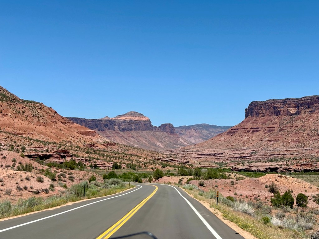
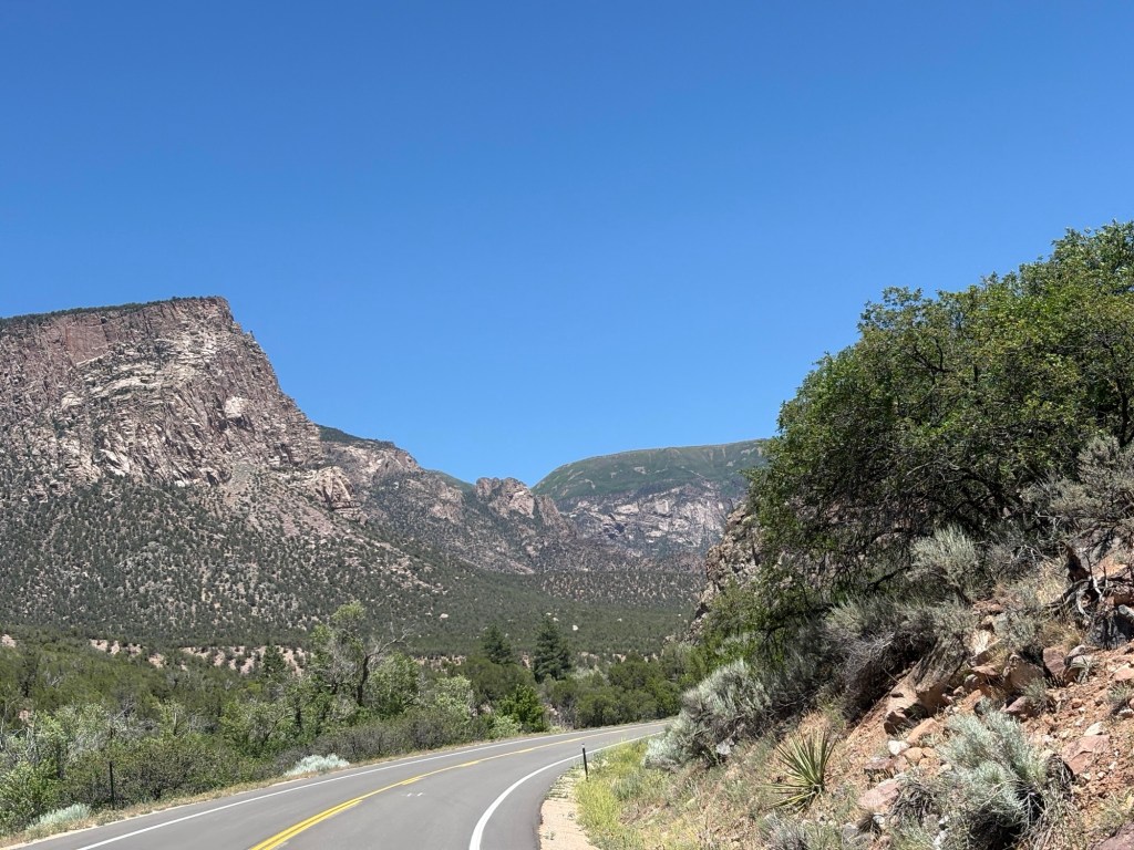
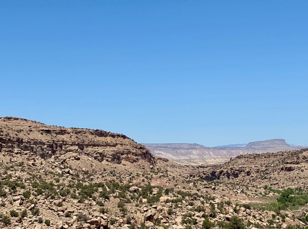
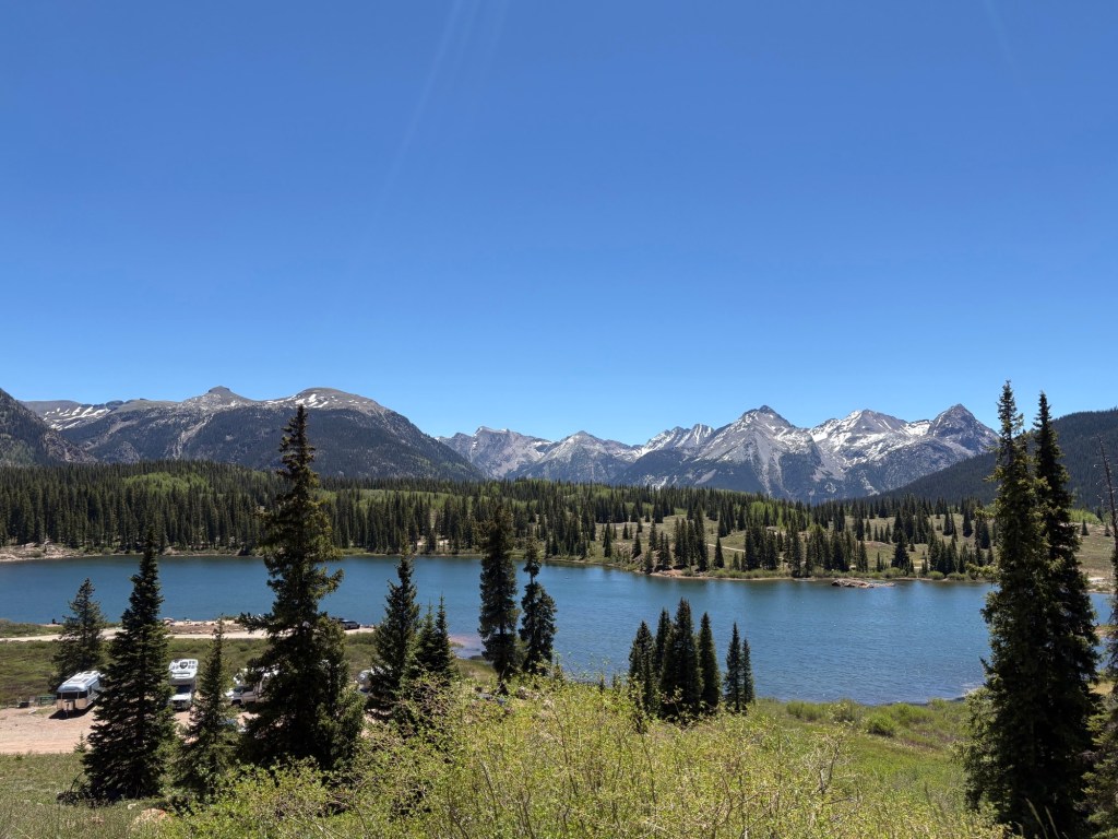
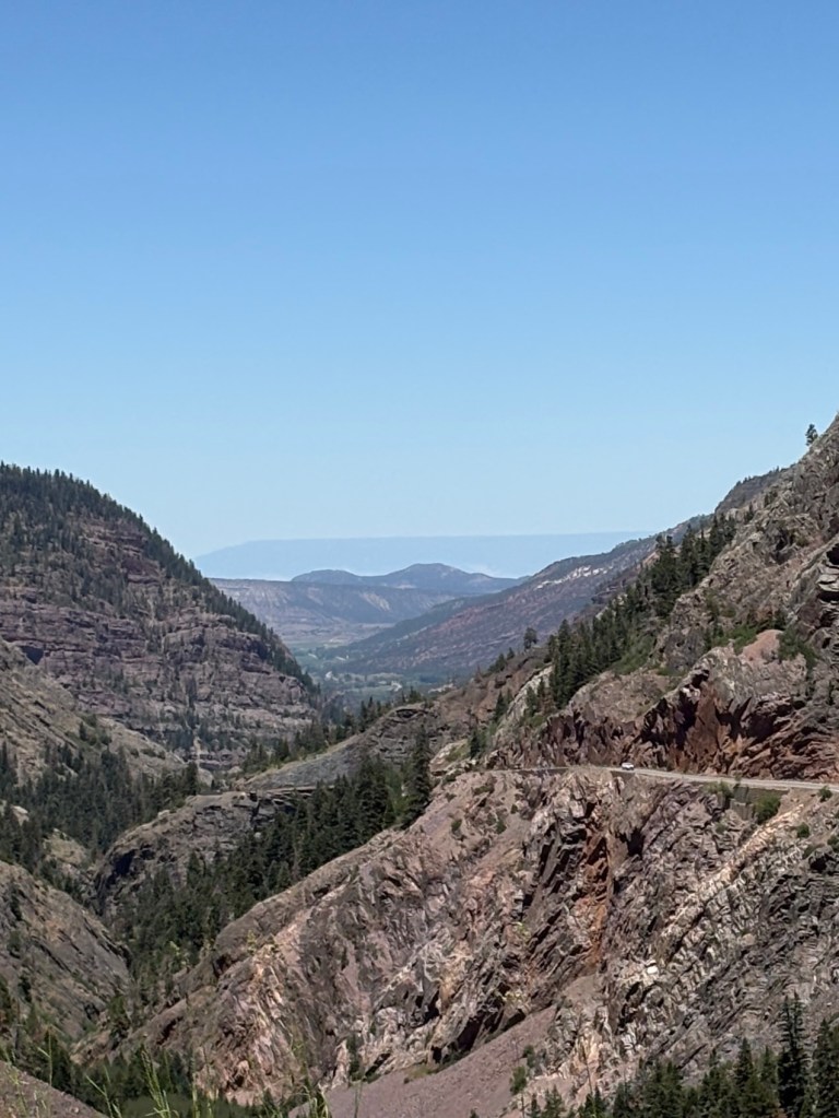
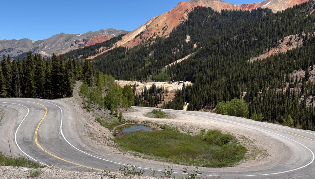
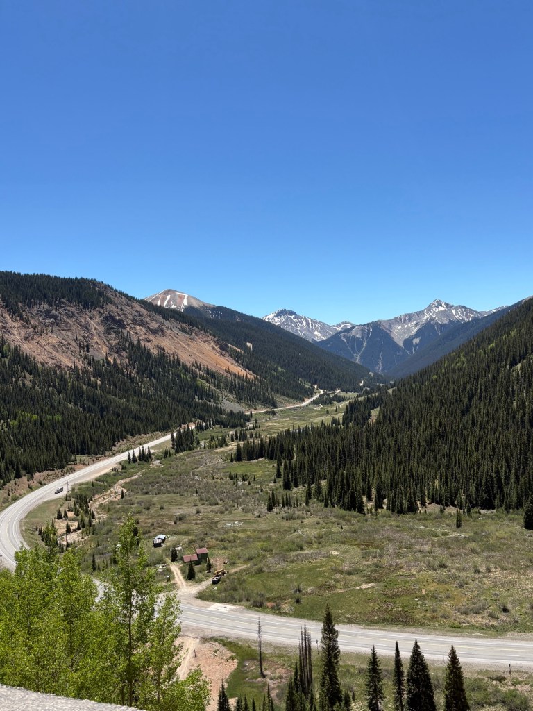
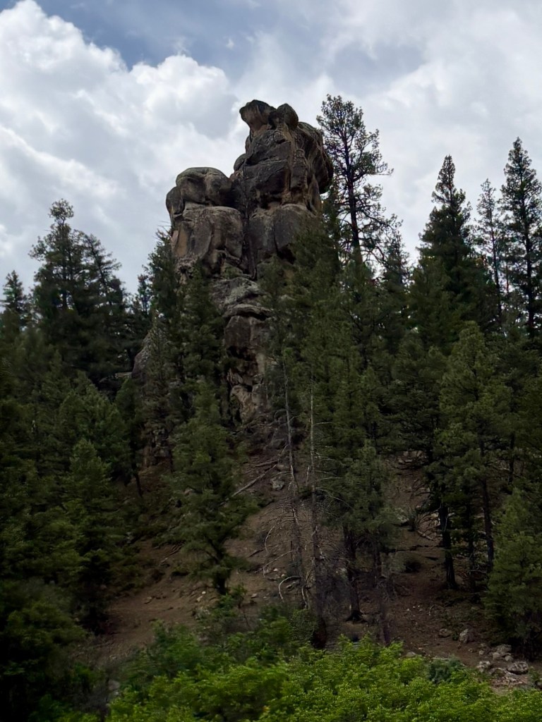
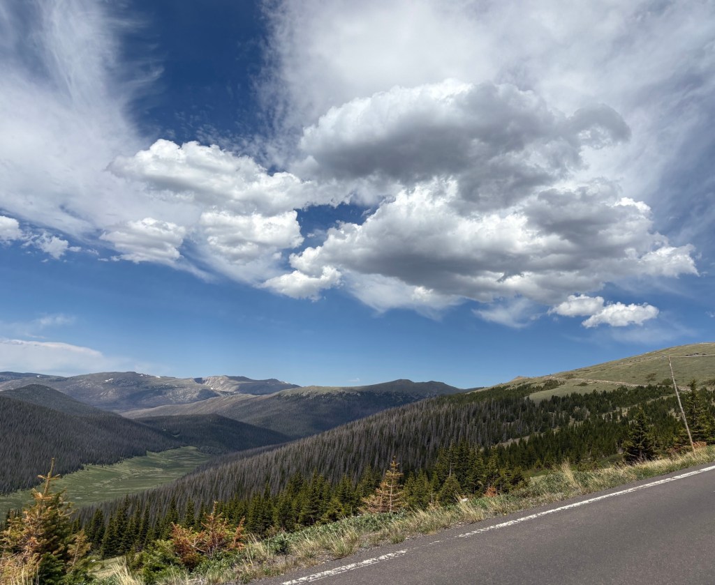
We can’t tell you what joy we find when we come here. We have described the park’s features in blogs from prior visits and it hasn’t changed much. Mountains are fairly a constant presence so we won’t go into great detail here. That said, the weather was perfect, clear skies, the air was clear, and mid-70’s at the entrance and low 60’s at the summit.
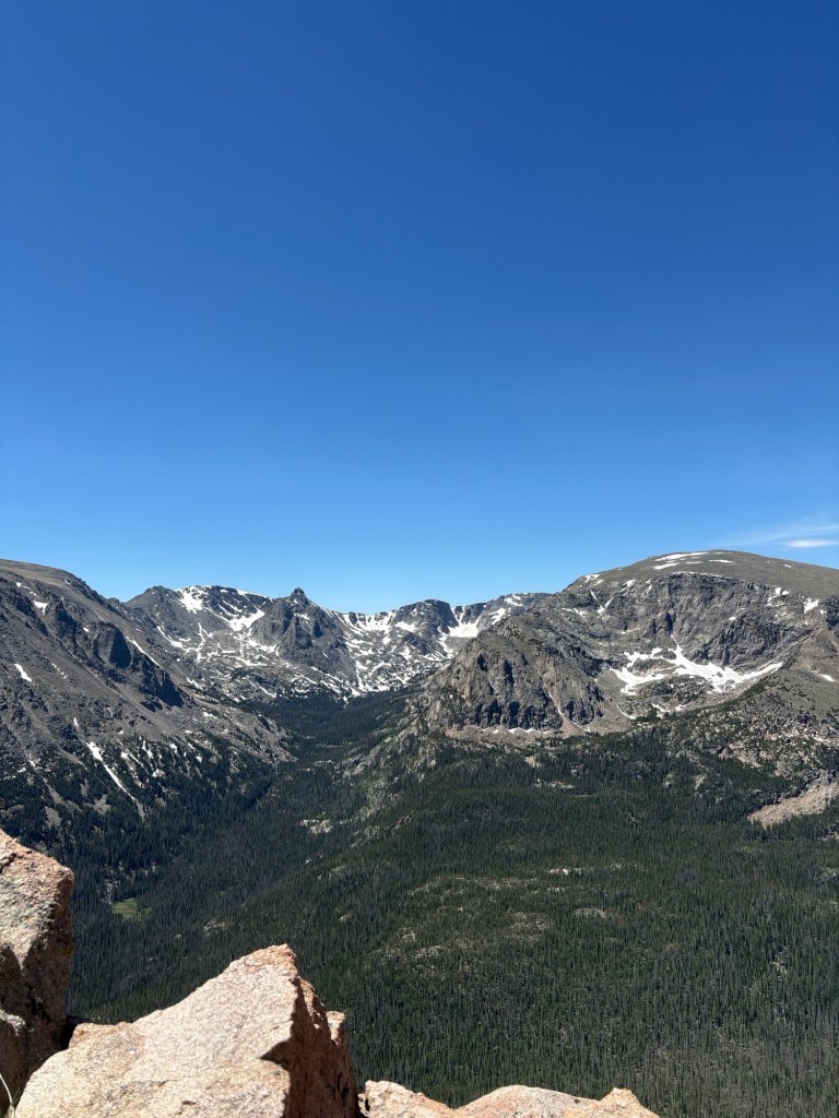
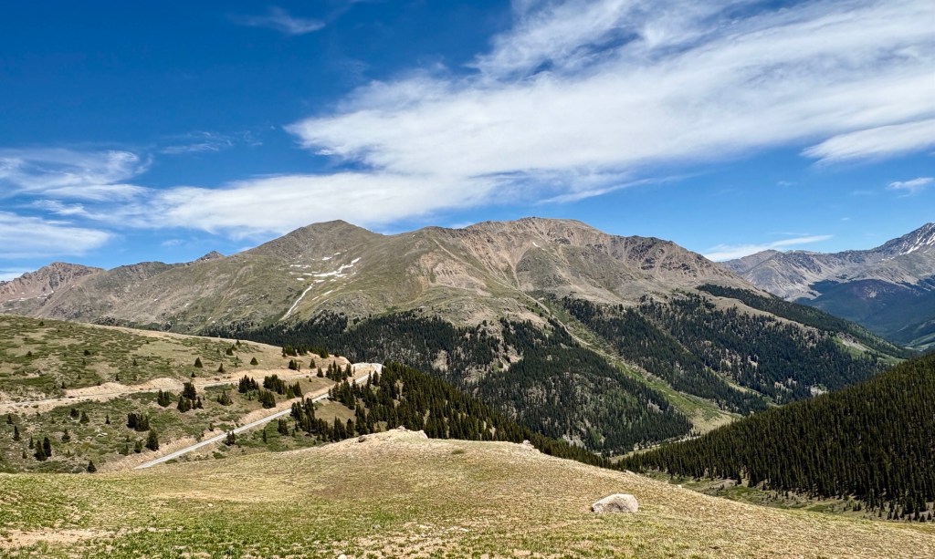
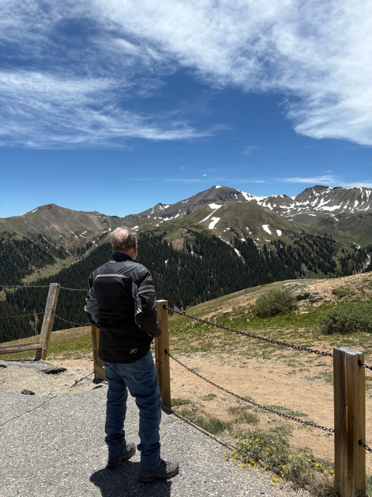
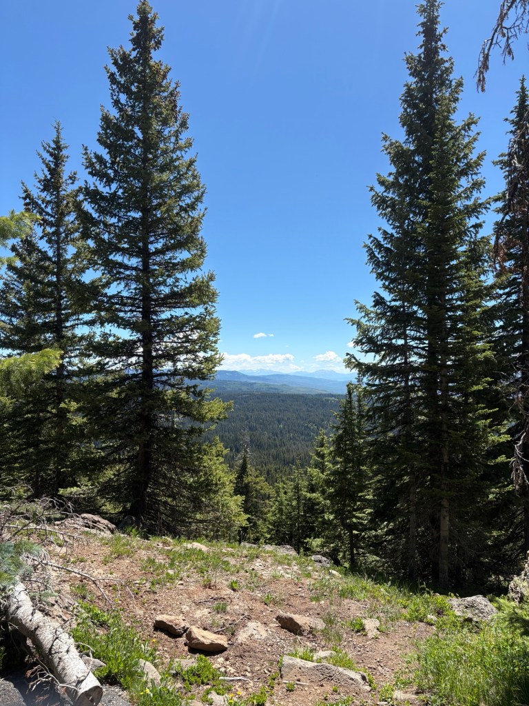
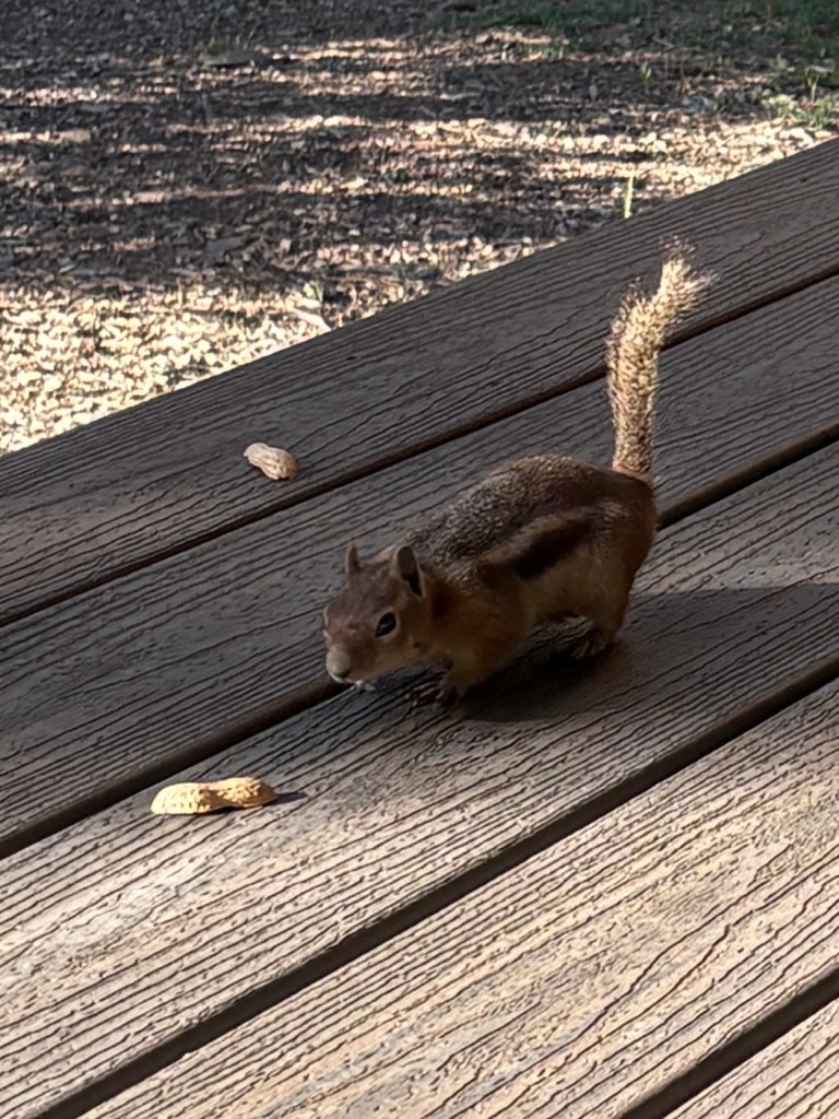
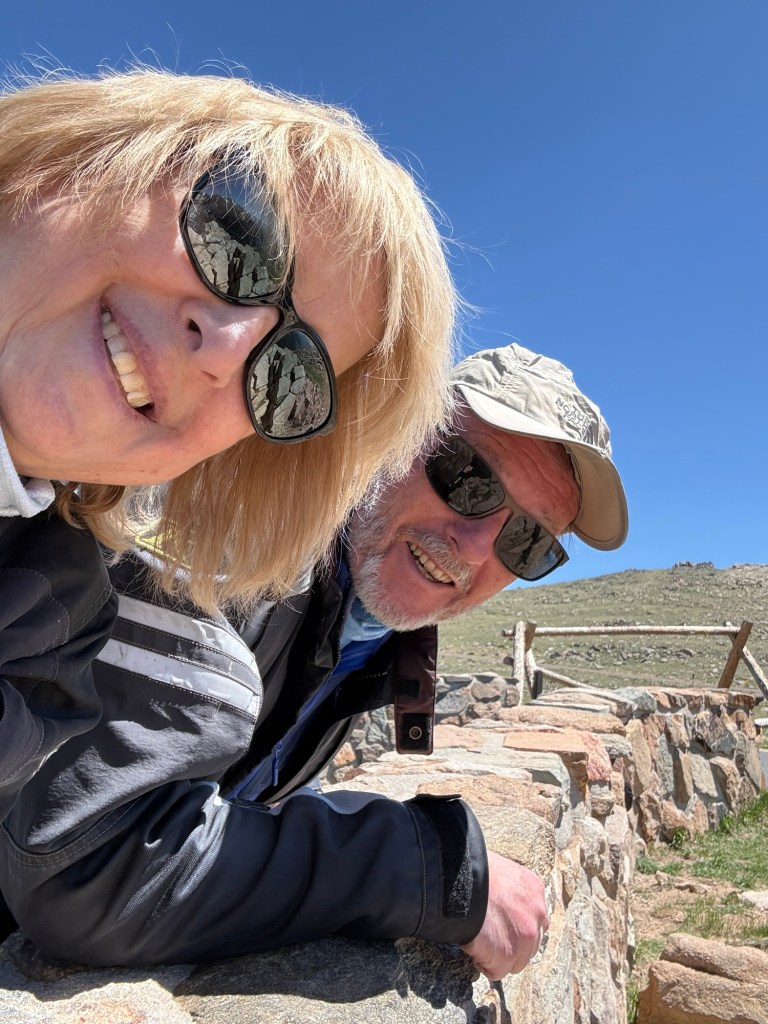
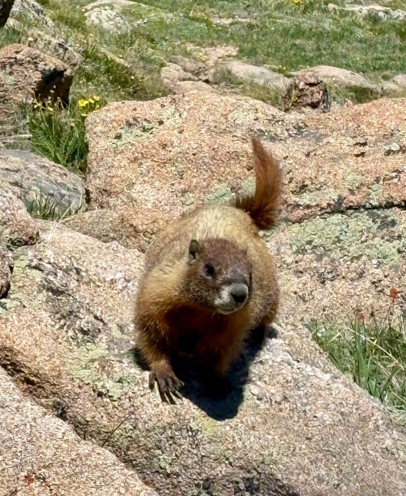
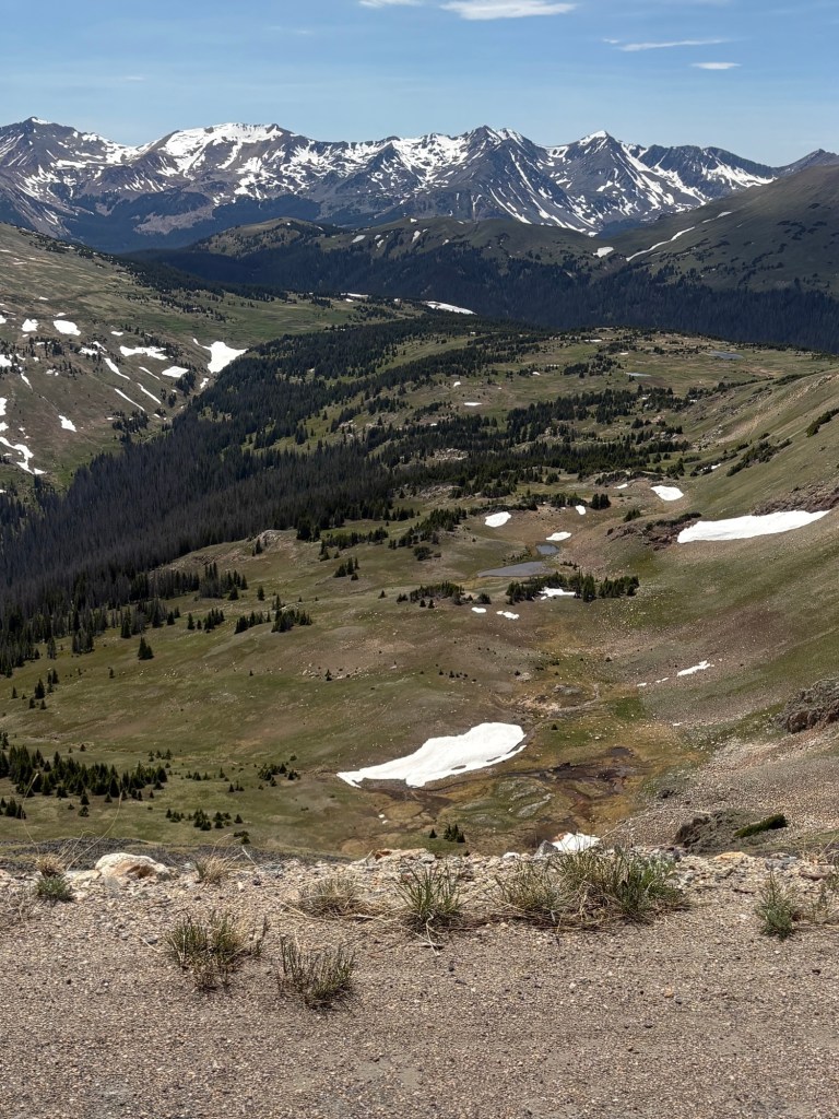
We stopped at the Forest Gorge Overlook at about 11,000 feet and admired the grand vistas it offered, and watched the marmots skittering about, munching some choice vegetation and sucking up to their human audience looking for a handout. The word is “don’t “. Their nutritional needs are delicately tuned to their sparse tundra home. Human food, especially processed snacks, can be toxic. It’s tempting, but don’t.
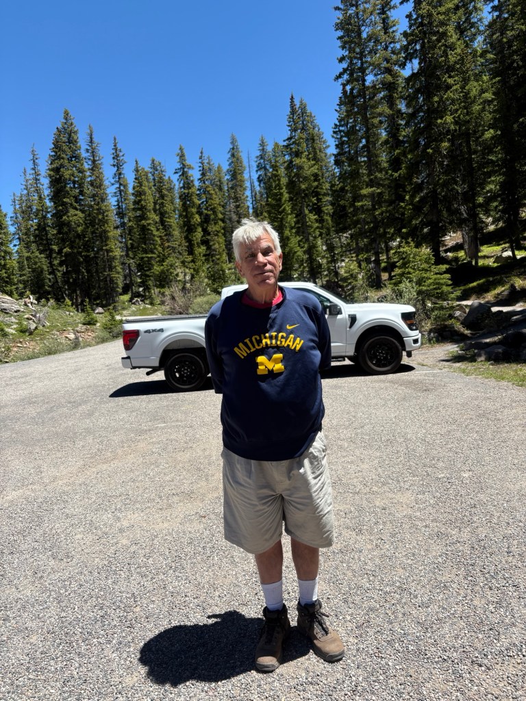
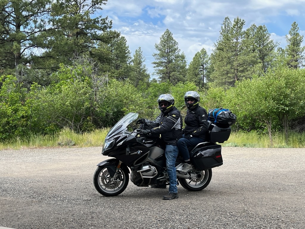
The road’s summit is at 12,200 feet, though the peaks are higher. It was a fun and easy ride to Grand Lake, an alpine village on Grand Lake of all things, made for tourists like us. We took a friend’s recommendation and had lunch at the Grand Lake Lodge, founded just after the Park in 1919. It’s a big old log structure with good food and a great view.
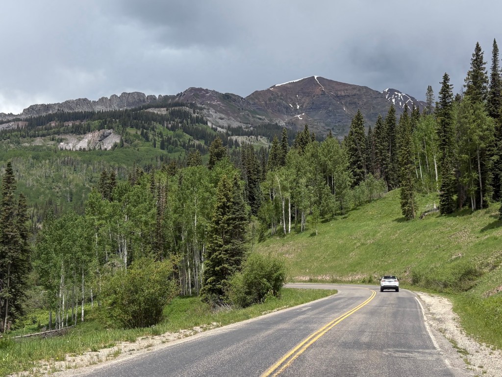
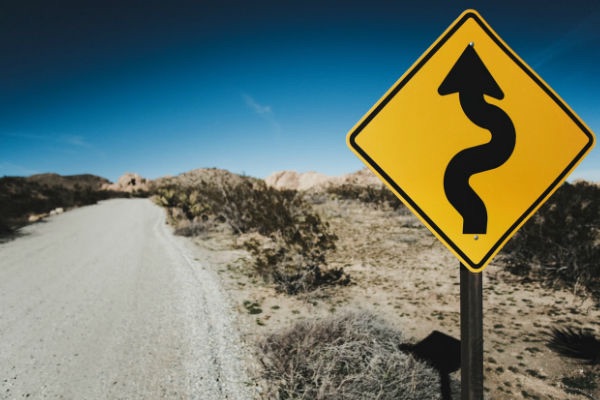
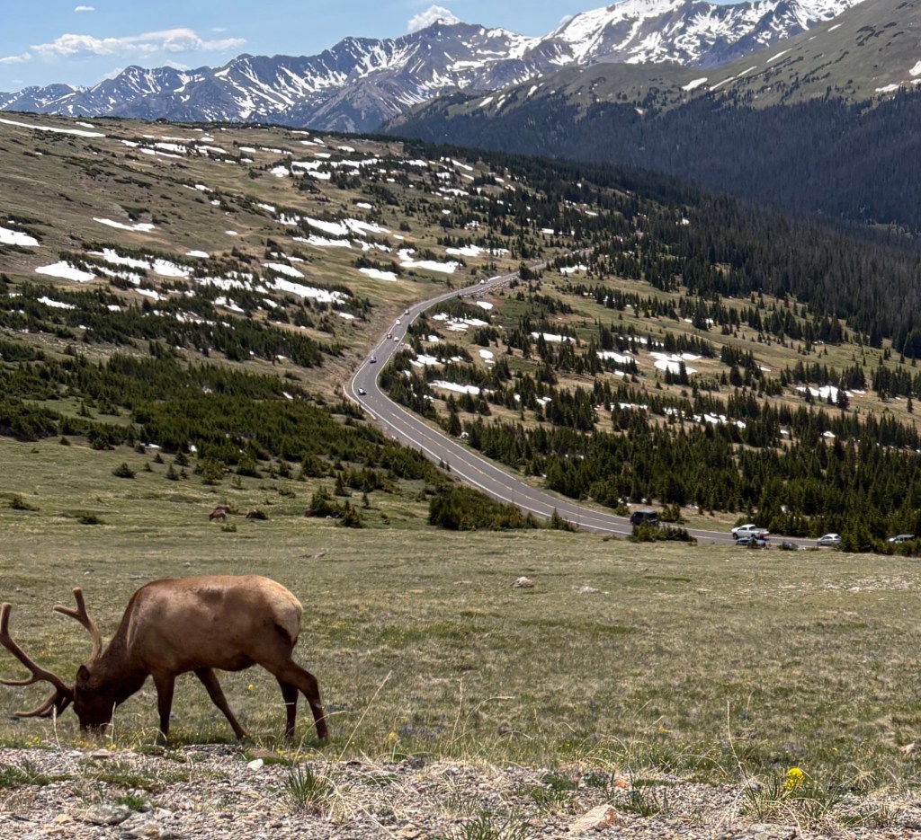
After lunch we launched our way back on the TRR to our more humble lodgings. There were a lot of vehicles on the road heading in both directions so progress was liesurely, to say the least. But we weren’t part of a race. We loved the sights from both directions.
We arrived at our digs and sagged into comfy chairs. The whole expedition was 96 miles, and we spent almost six hours doing it. Factoring in lunch and scenic breaks, we averaged all of 16 miles per hour. For today, and for this experience, that’s really okay.
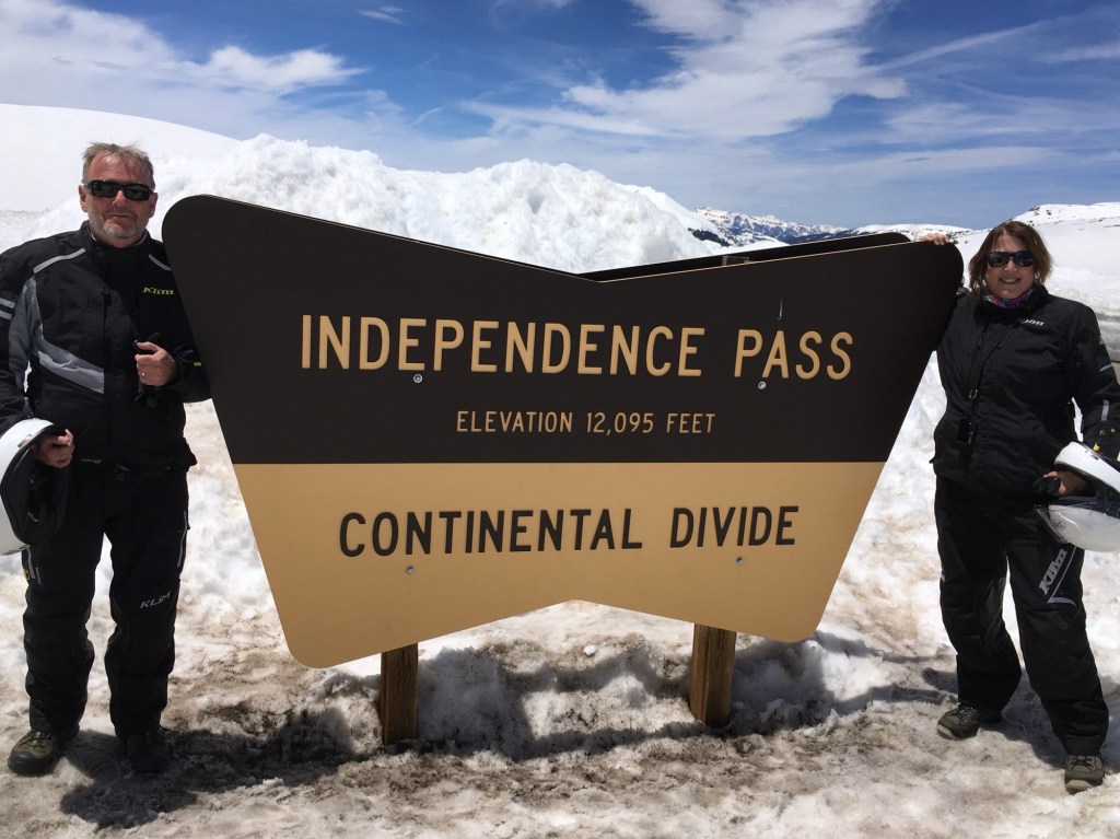
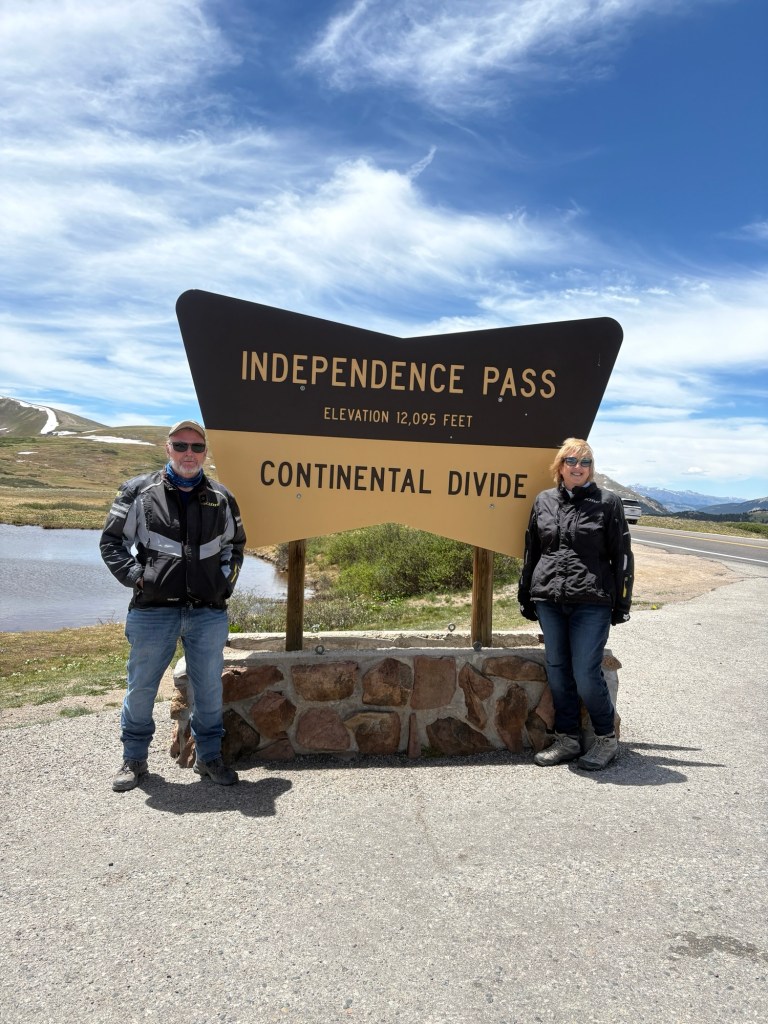
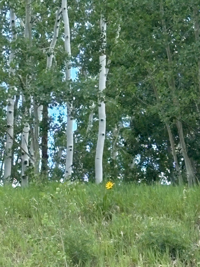
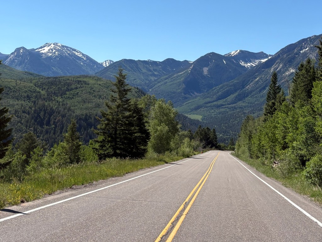
We hope you enjoy the pics. And we encourage you to make this trip once in your life. Be well!