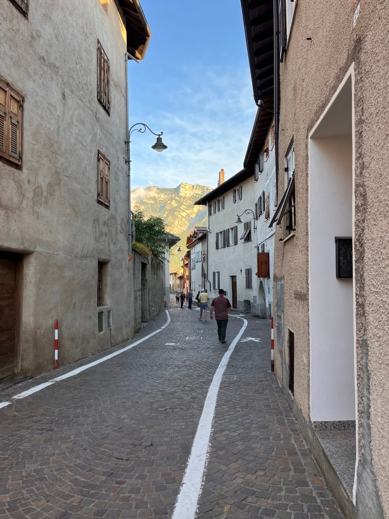
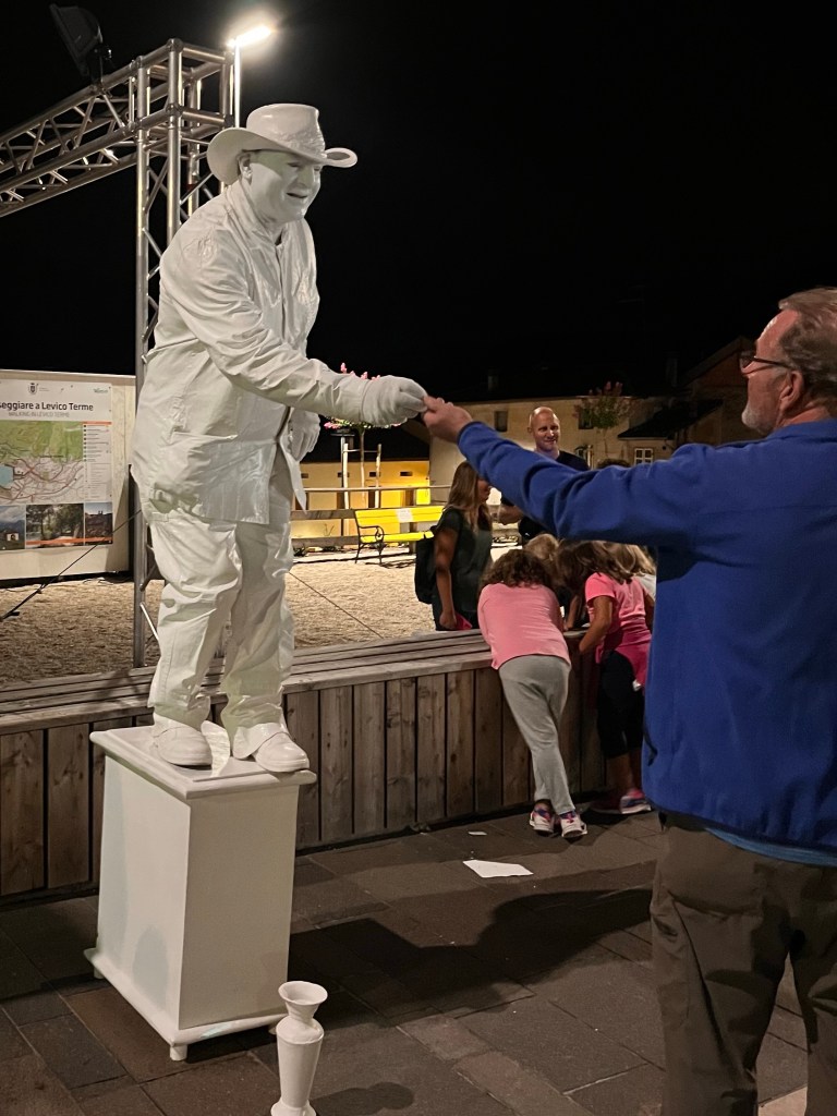
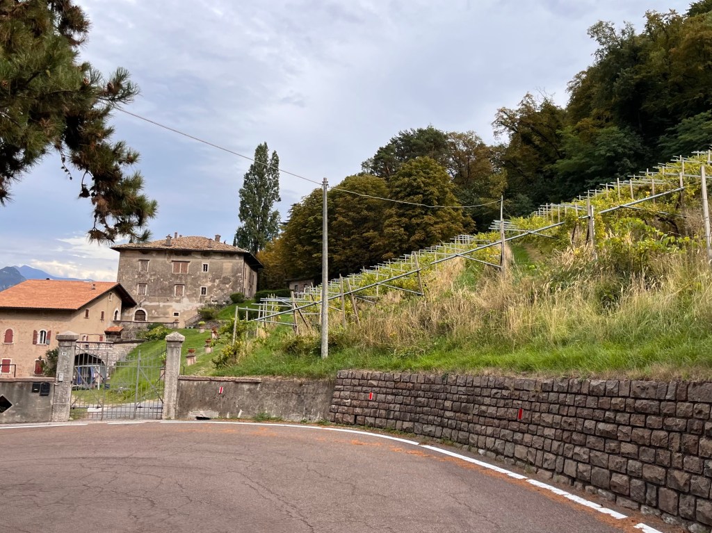
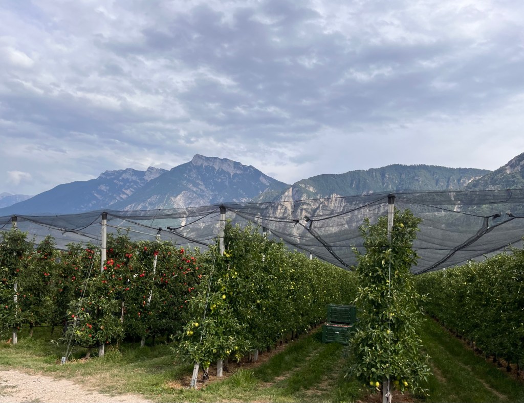
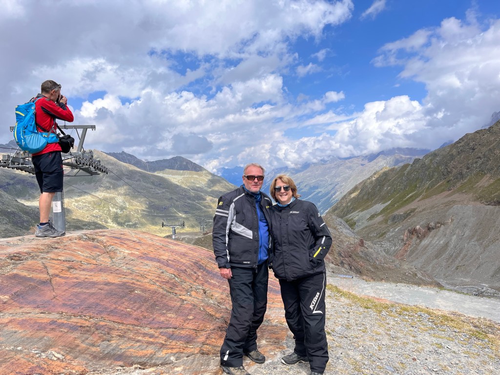
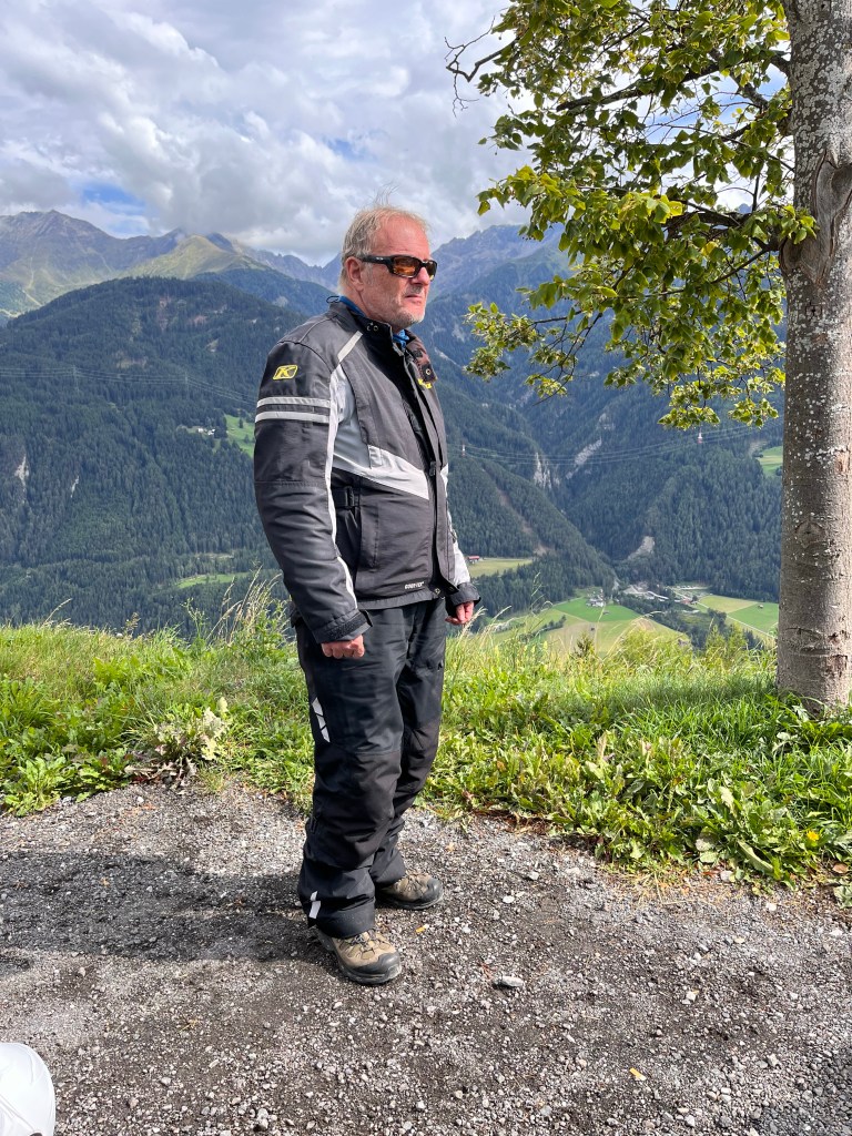
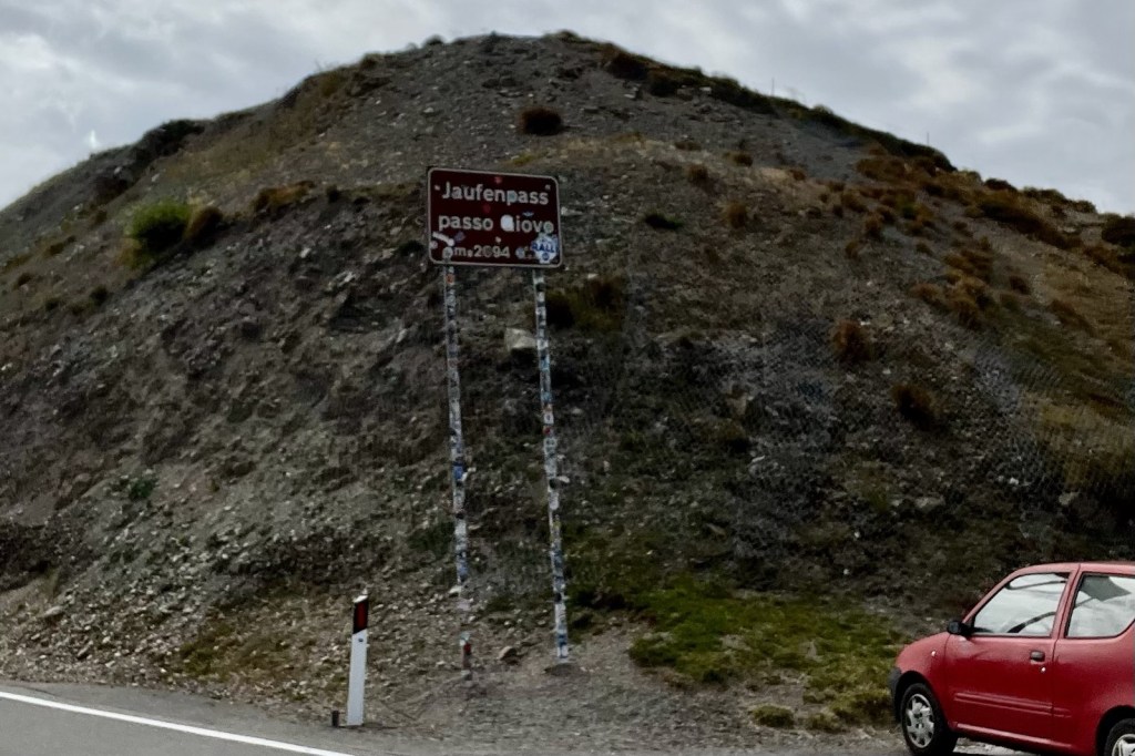
Tour Day 5 – Levico Terme to Rasen Antholz via the Italian Dolomites.

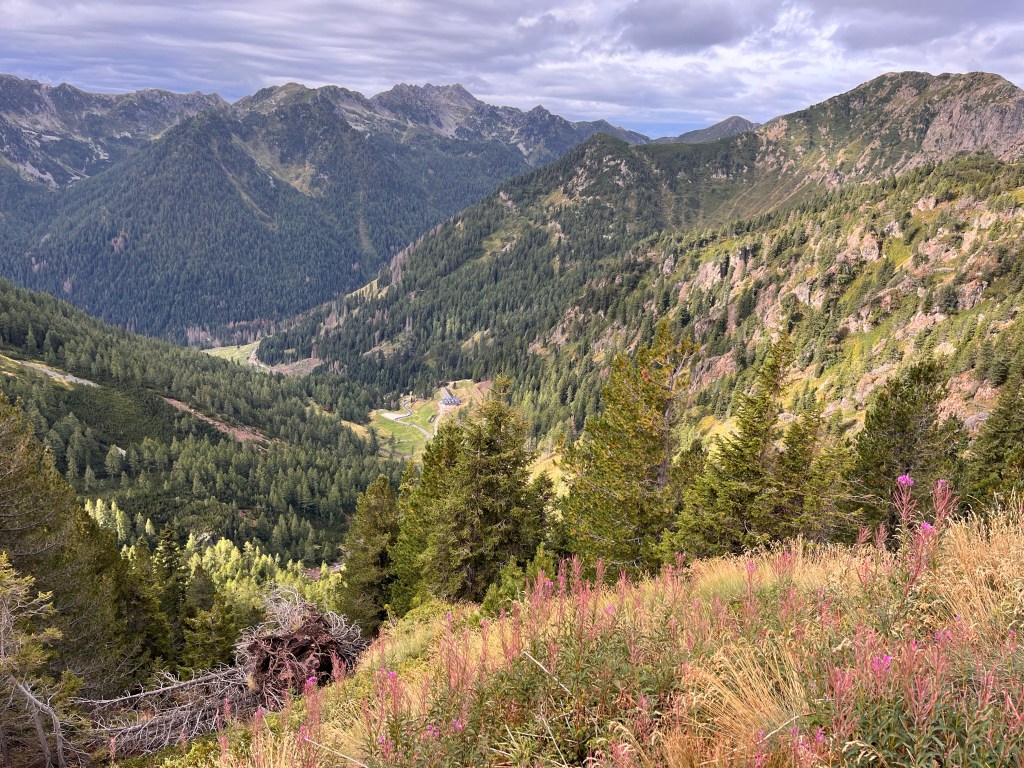
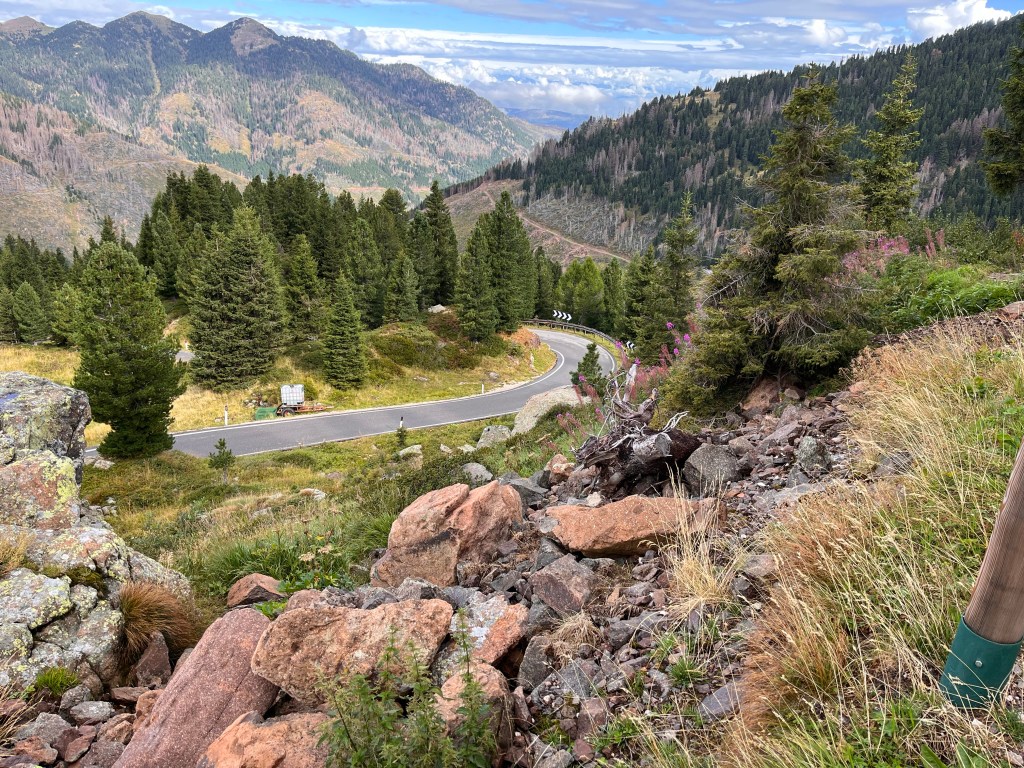
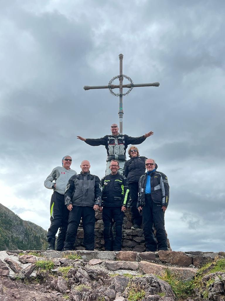
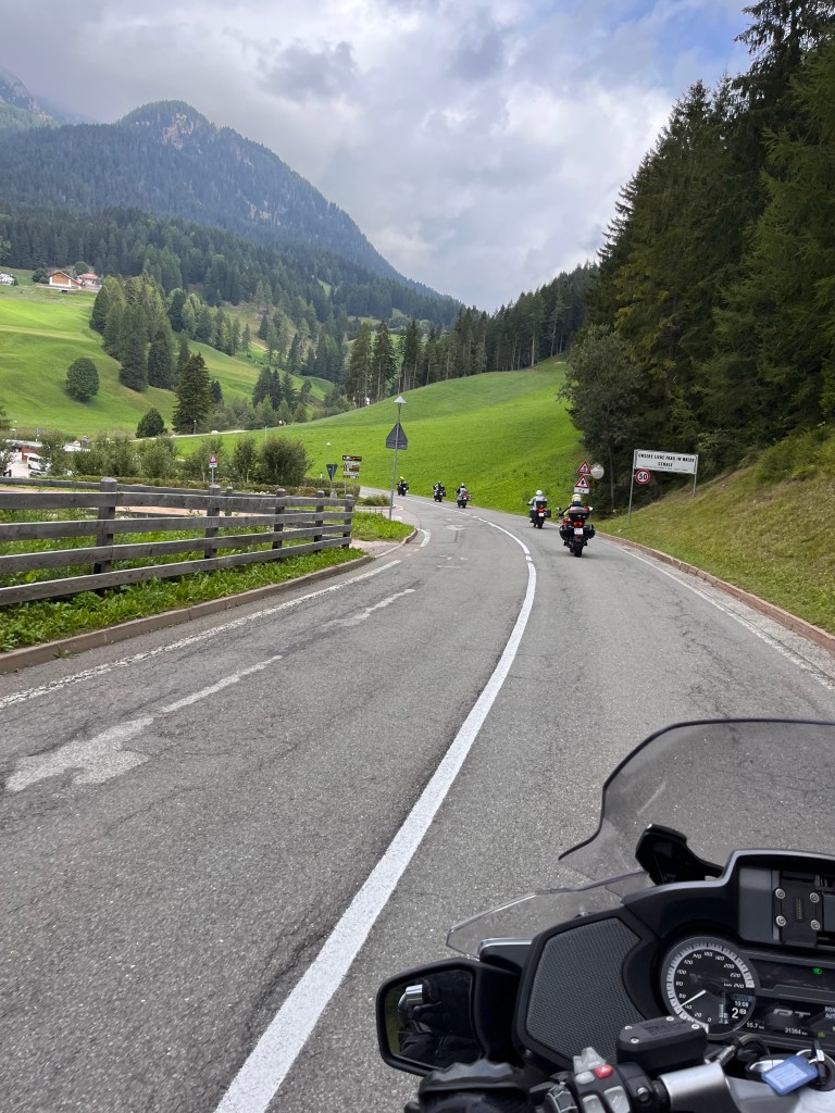
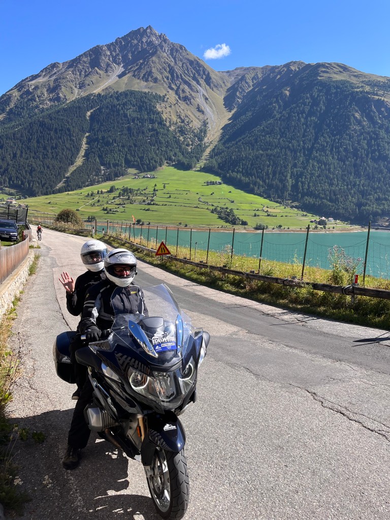
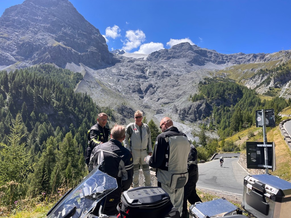
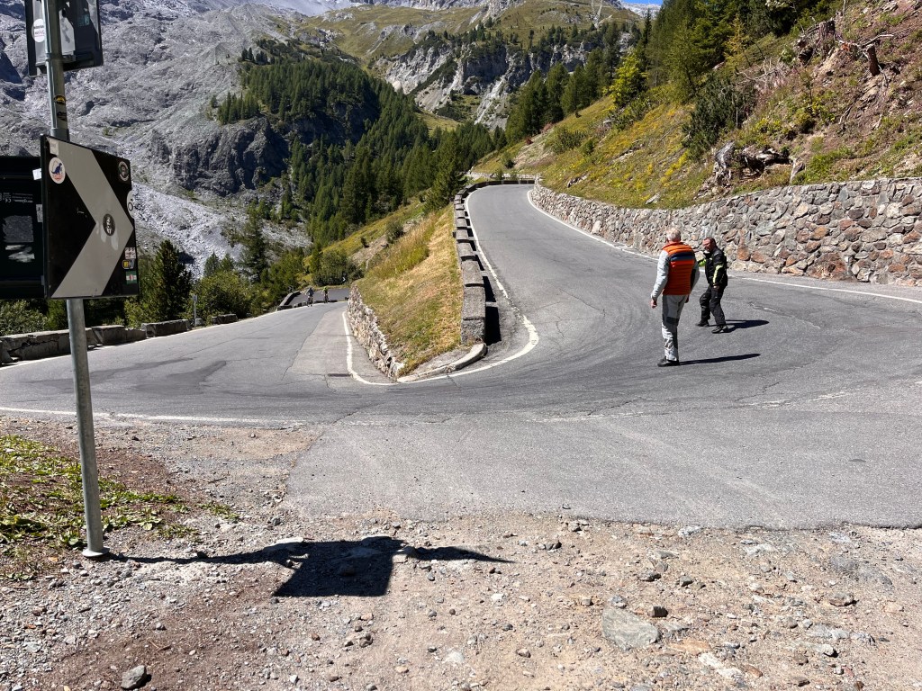
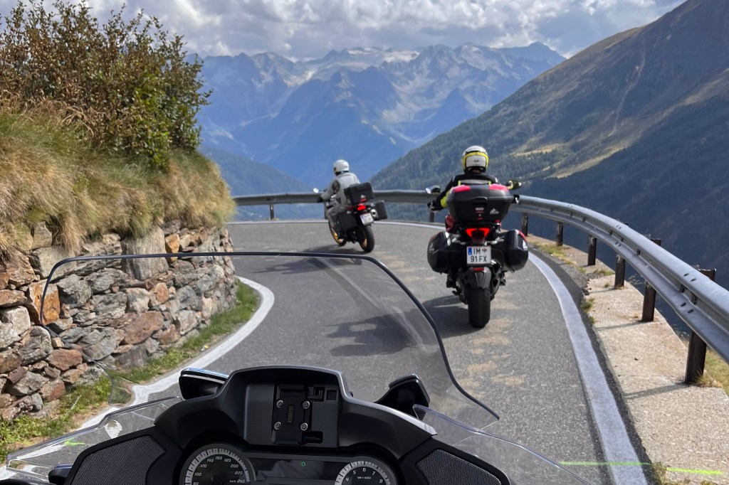
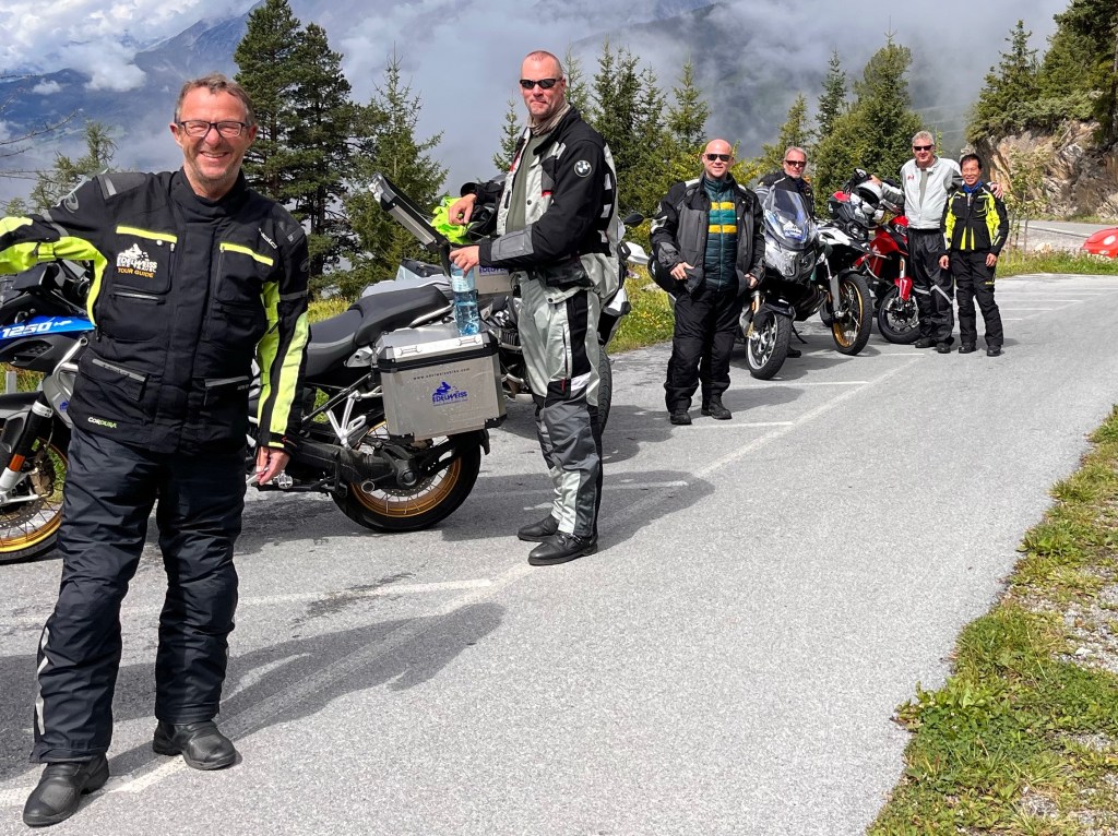
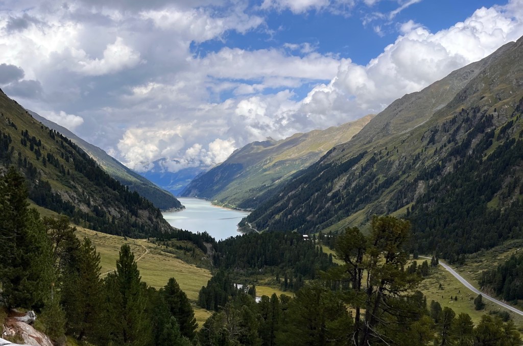
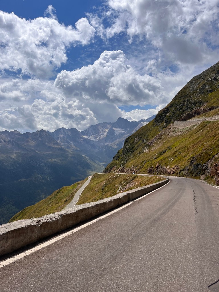
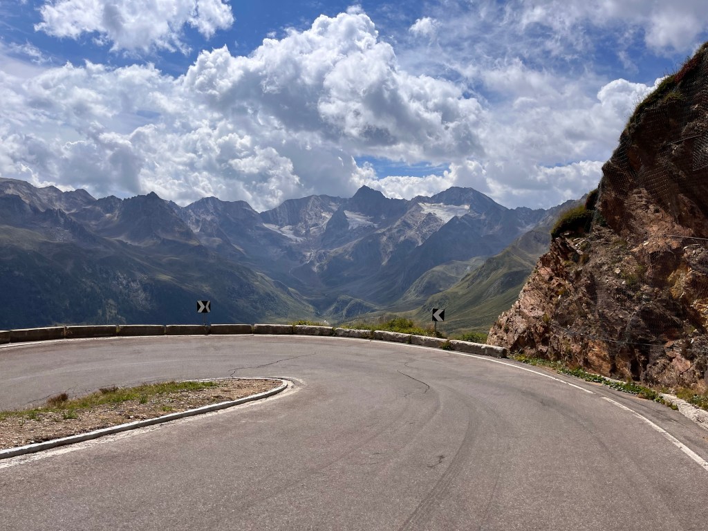
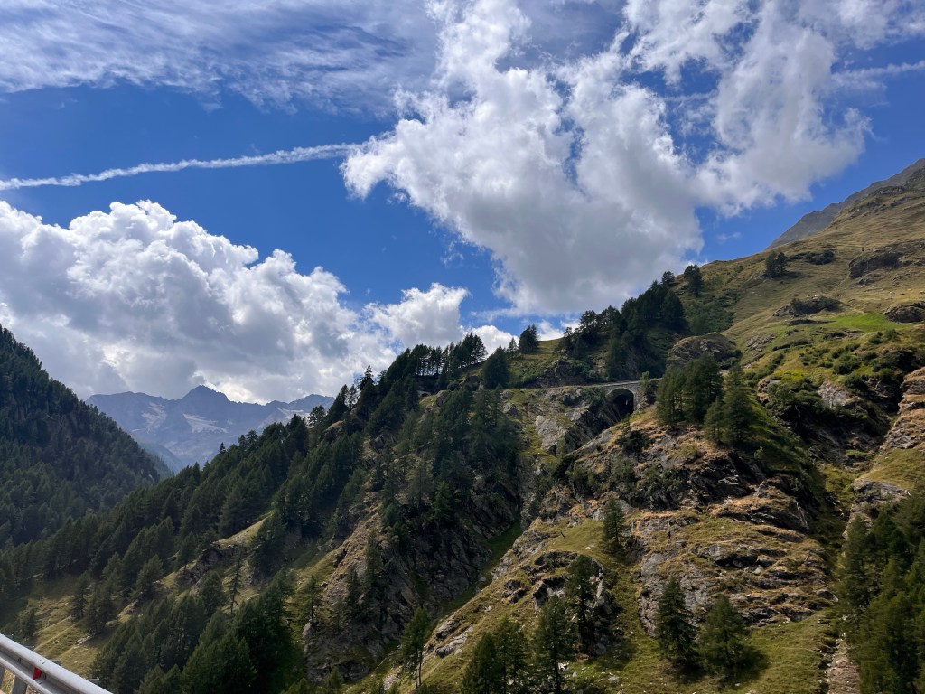
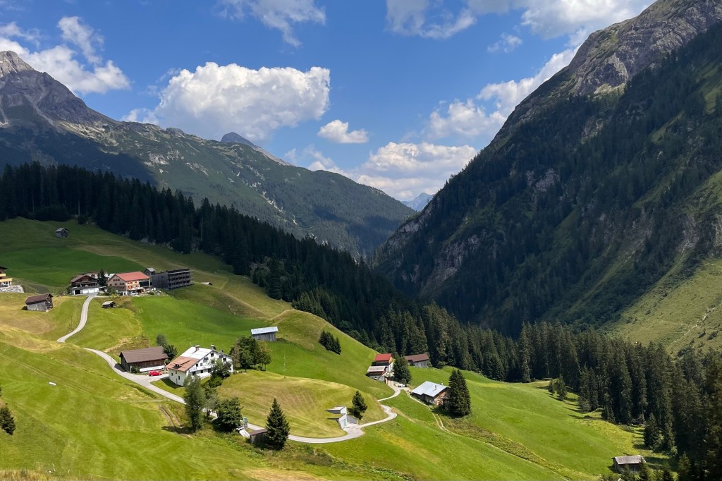
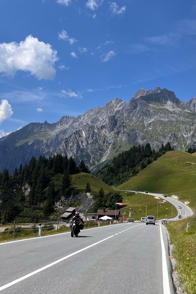
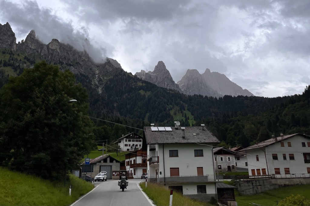
Today was by far the longest and most beautiful day so far. We left our Hotel in Levico Terme and rode over 270 kilometers (nearly 170 miles) to Oberrasen, Italy through the heart of the Dolomites. We cleared seven passes with a combined more than 150 hairpin turns and over 1,000 curves. (Yes, someone actually counted them!). After the tough and tight switchbacks of Passo del Stelvio and others early on, these turns were challenging but so much fun!
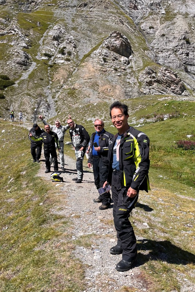
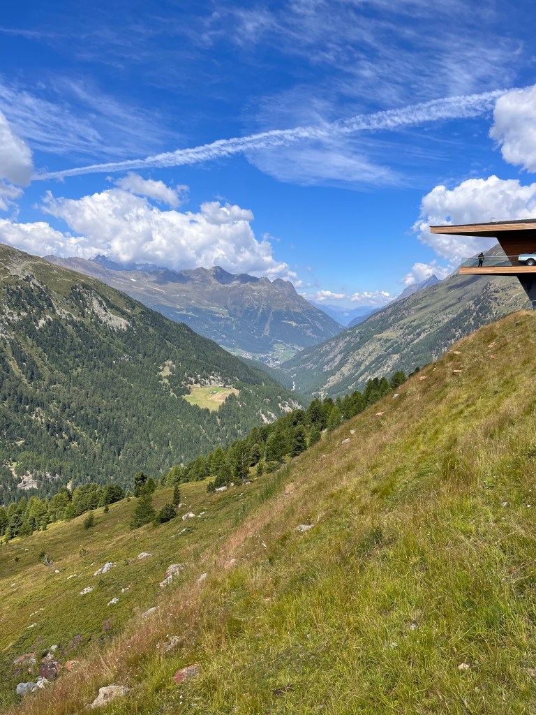
The best passes were Passo Manghen, Passo Duran, Passo Cereda, and Passo di Giau. And unlike the famous Stelvio Pass, we met very little traffic through these passes. As a result, had a blast without feeling rushed or squeezed by buses and trucks. And our stops along the way gave us a chance to take in the Dolomites up close.
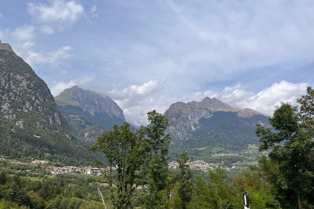
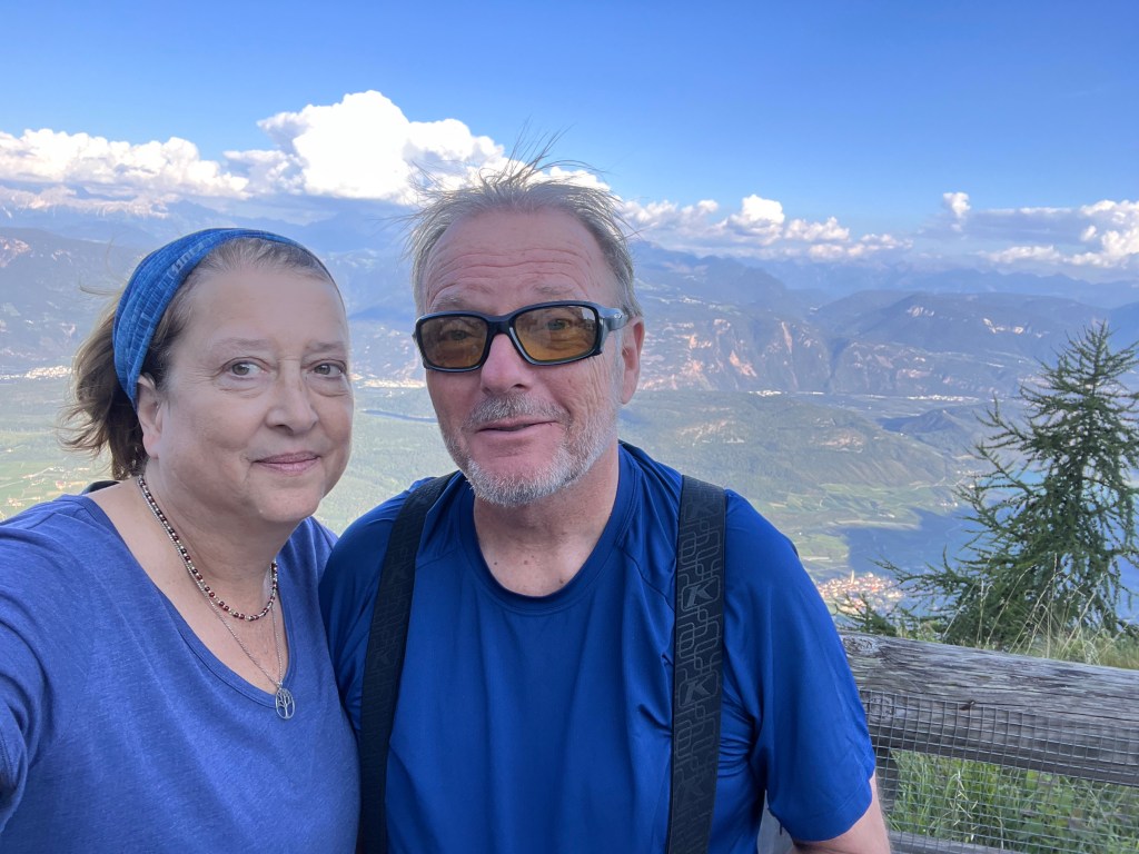
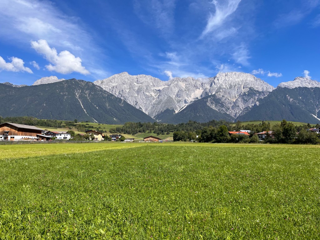
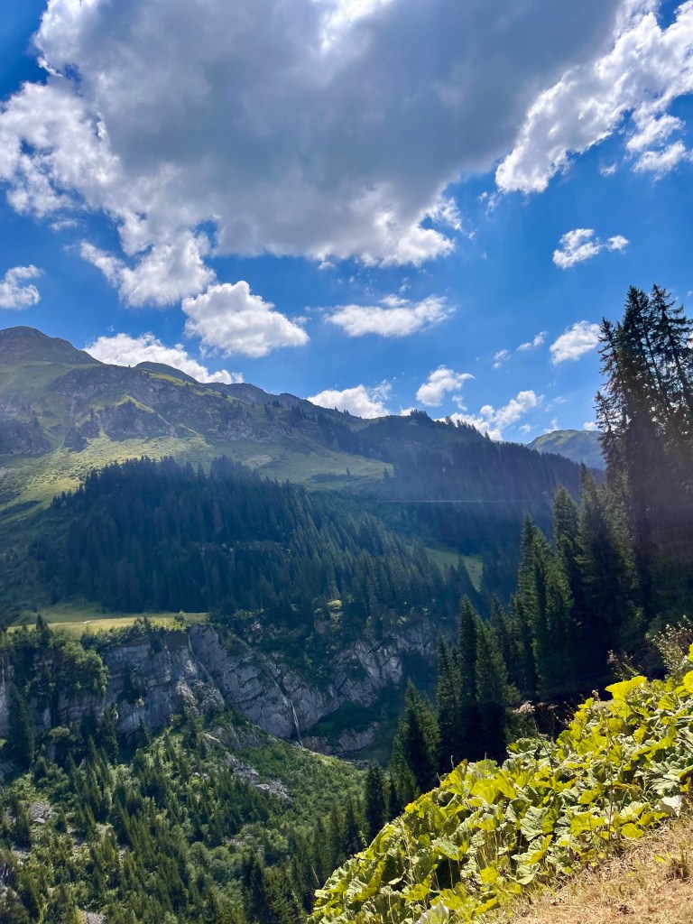
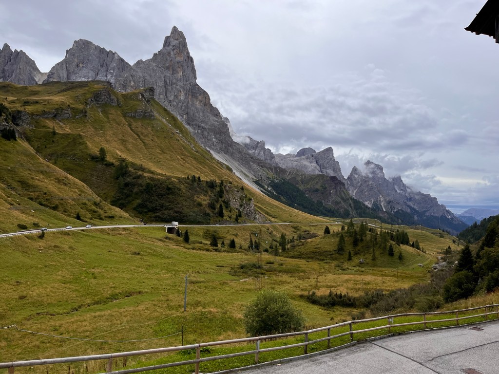
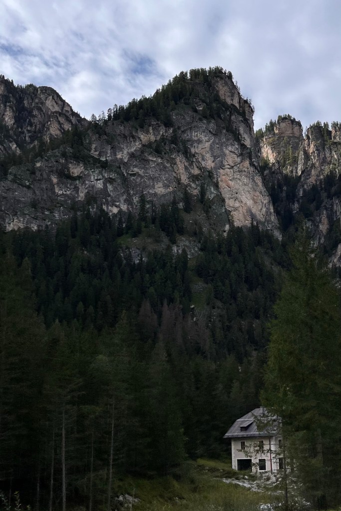
The name “Dolomites” is derived from the name of the French geologist, Déodat de Dolomieu, who discovered that the limestone in this area is chemically different from the mountains to the north. This means that this special sedimentary rock that has been thrust violently upwards forms incredibly rough and beautiful formations. Connie and I were reminded of the Sawtooth Mountain Range in Idaho which are high, very steep, and look jagged and dangerous.
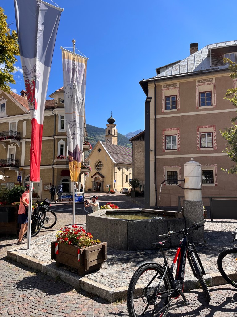
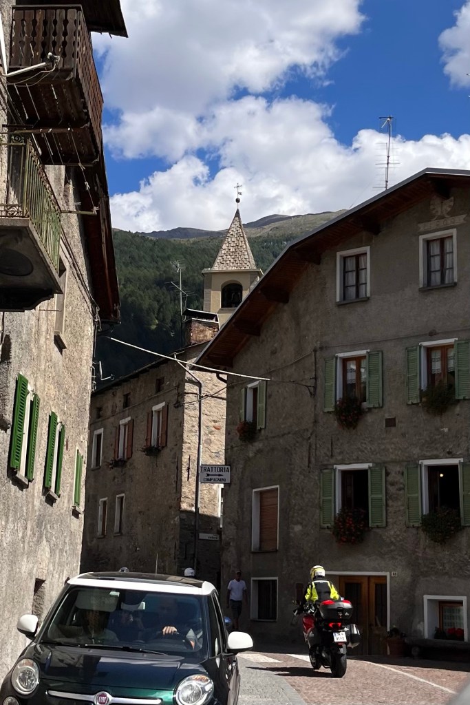
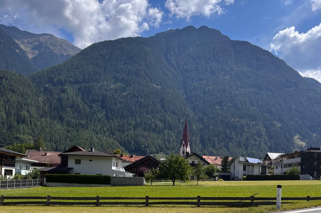
Historically, the Dolomites are also very interesting. The region belonged to the Austrian Monarchy at the outbreak of World War I. The front ran right through the mountains. Austria was one of the losers of the war, and at the peace treaty of St Germain, Austria agreed to hand southern Tyrol over to Italy. Many of the road signs and villages still have both German and Italian names along what was the former Austrian region in southern Tirol.
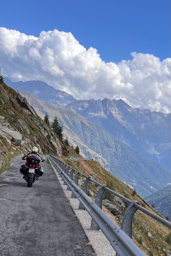
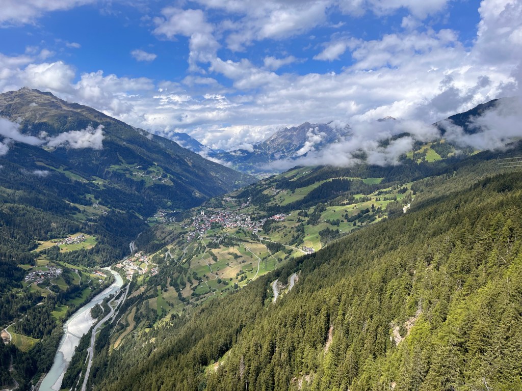
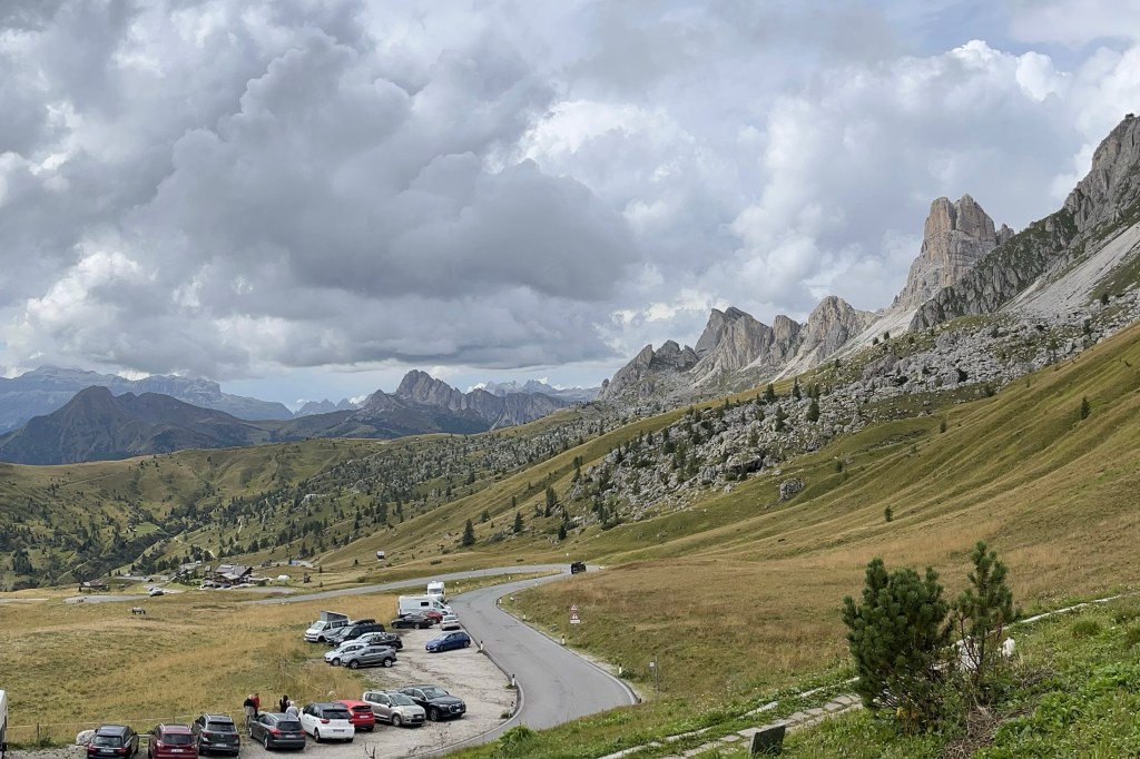
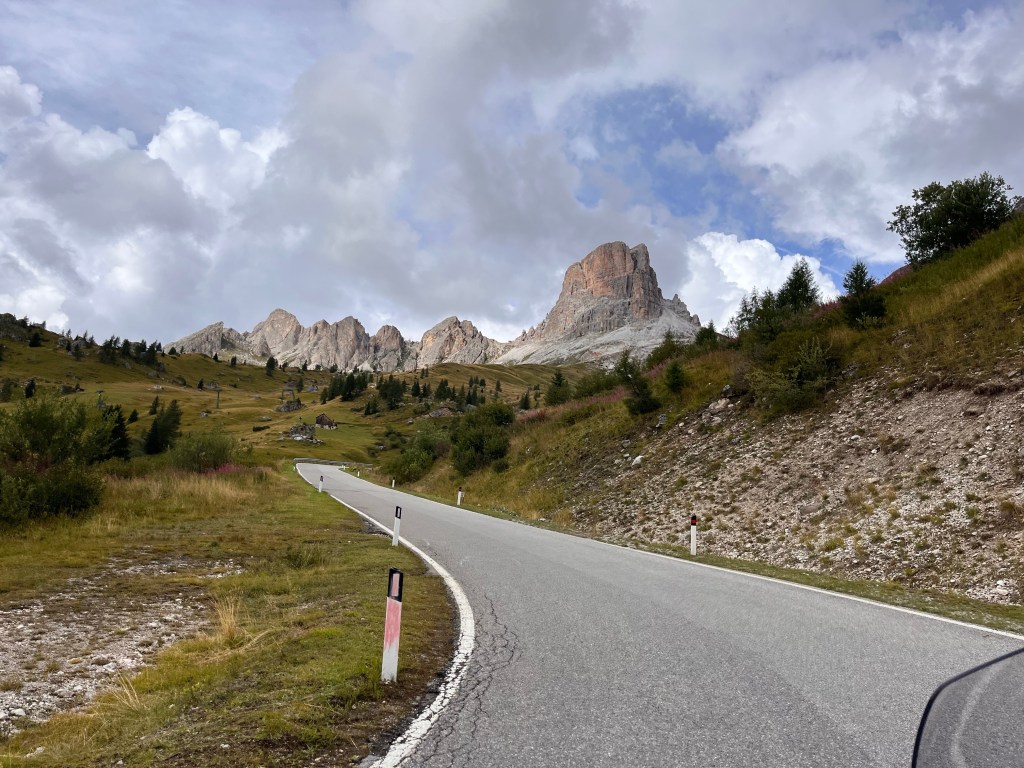
Riding through the Dolomite mountains we honestly felt the roads were built for motorcycles. And Passo Di Giau is the best. There are 55 perfectly constructed hairpin turns that have a rhythm to them. Our traverse felt almost like a dance, if that makes sense. And we had the pleasure of some mind blowing views.

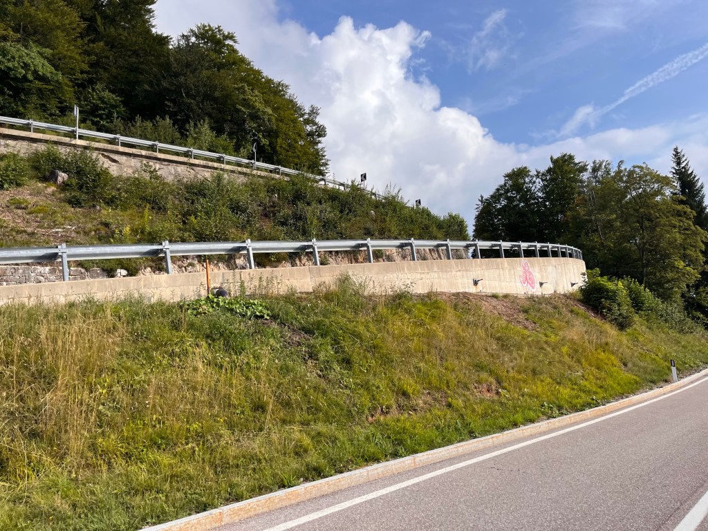
Interestingly, there are a ton of speed traps along the way. (The only stretch of the tour where this was true.) There were big blue or orange barrels holding police cameras that will take a shot of your vehicle if you’re moving too smartly. It seems there is a history of local riders using the road to Passo Di Giau as a racecourse. The cameras have put a damper on that because traffic fines here are really steep. So we minded the speed traps and saved ourselves some cash.
It has been a long and fun day. Now to bed. Tomorrow is our last day. <sigh!>


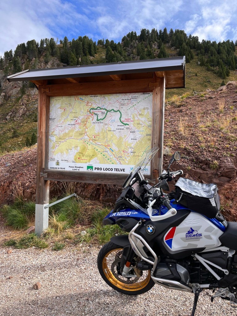
This morning we left Levico Terme and rode to Passo Mangen