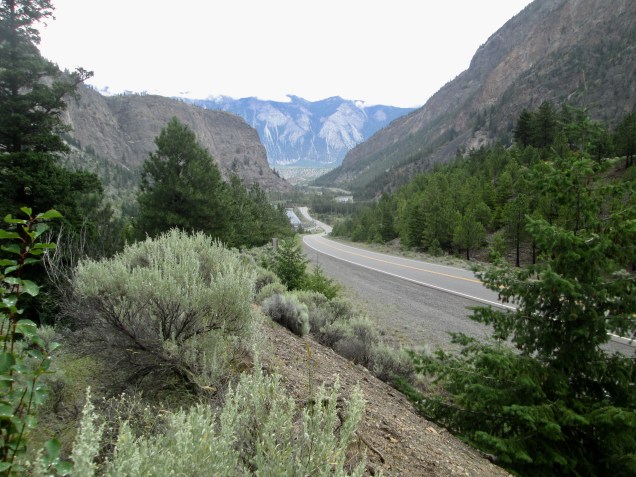
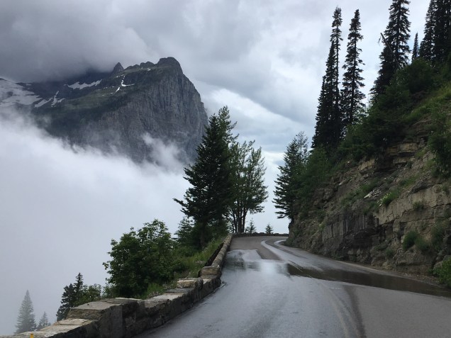
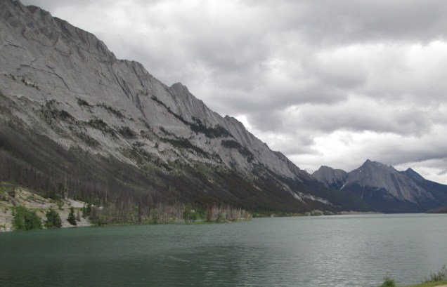
We had a fun, long, pretty 330 mile day today. We left Helena, Montana’s Capital, this morning on the way to Billings, a pretty town that is home to Montana State University. Our round about route took us down US 287 to US 12 East, which in turn hooked up with US 89. Gorgeous riding. If you are ever out west and want a beautiful ride or drive, US Rts 12 & 89 will work almost anywhere you are. They are spectacular roads.
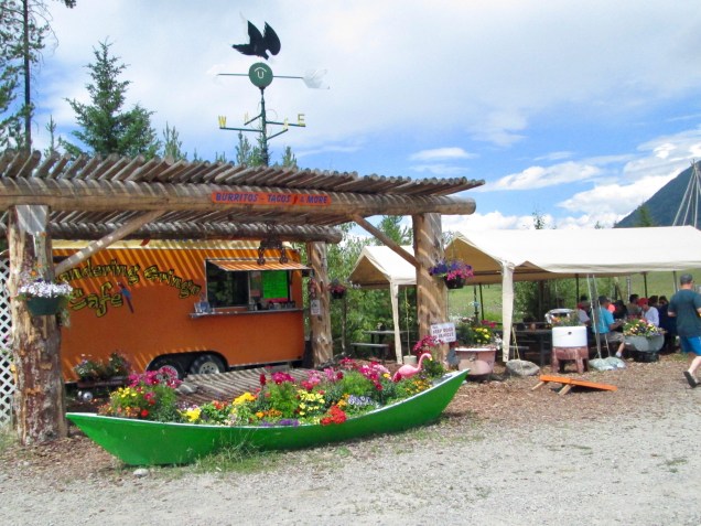
Anyway, we stopped for lunch in White Sulphur Springs and ate at the Branding Iron Café, a little eatery that is very popular with the local folks. We had a great meal that included locally prepared bacon and French toast to die for. While there, we met some neat folks. (Of course we did.). A couple, Dick and Janice, are mostly retired and ride their Honda Goldwing as often as they can. Residents of Helena, they suggested about 50 nice roads we should take on our way to Billings. (Well, maybe only a dozen.) We settled on one route that added about 2 hours and 100 miles to the day. Their recommendation was right on. More in a minute. Dick, we will most certainly call when we pass this way again!
Another wonderful woman was Geralita (her mother liked unique names) who is a nurse/care manager at a hospital near her home in Idaho. She got her training as a nurse some years ago and has used it as a stepping stone to some neat jobs. She was back in the area to meet up with her family and stopped for a meal. We’re so glad to have met all three.
White Sulphur Springs is well named with hot springs ready at hand for relaxing. Judging from the number of hotels, it is a popular place to get away. The aroma kind of gave away that natural hot springs were close by.
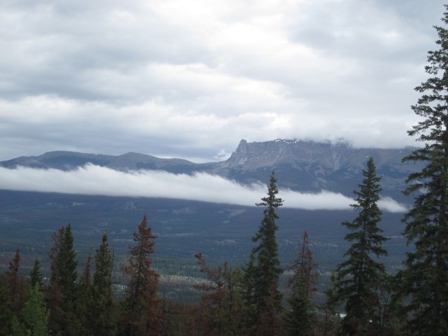
We took US 89 north for a ways to through a portion of the Lewis and Clark National Forest and turned east on a local road, MT Rt 427. Gorgeous land. We stopped for a minute and found ourselves under the scrutiny of a very large Angus bull. Connie got a pic. He was grazing near the foundation of a burned out farm house. Though there was a fence between the bull and our rest spot, it didn’t look all that solid to me. Fortunately, he lost interest after a while. Very glad were we.
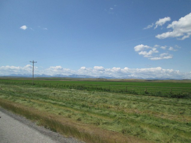
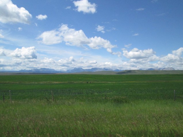
Rt 427 took us into Raynesford Where we turned east on US 87. Riding through Geyser and Moccasin and Eddies Corner where we turned south on MT Rt 191. Rt 191 took us through Buffalo and Judith Gap to US 12 again at Harlowton. We turned east once more and rode to Lavina, where we headed south on Rt 3 into Billings. Very fun riding with so little traffic it’s beyond belief. And the land is unusually lush because of recent rains. We passed so many pastures with cattle and horses. To meet the need for food, so many fields are cultivated with hay and alfalfa. It’s hard to convey the scale of farms and ranching out here. Small ranches cover a mile or more. Larger farms go on for 5 or 10 miles or more. Feed grasses are baked in large, six foot rolls that are trucked to farms and feed lots throughout Montana. On a number of farms, these rolls were scattered by the thousands for as far as the eye could see. Connie got a fair picture of that, too. Back East, we just don’t appreciate how big the agricultural system that brings us our food really is. Or how much work goes into a farm. Or how thoroughly we depend on these folks to supply the food that’s on the shelves and coolers at Wegmans. And this is one small-ish part of the farm system that feeds us every day.
Anyway, we had such a good time today. Now we’re comfortably ensconced in our room and about to set to our meal. A nice shower and an adult beverage have gone down well. By the way: we have ridden through 80F weather for the first time in a month. Promise not to whine too much. 😀 Tomorrow we’re off to Dickinson, ND.
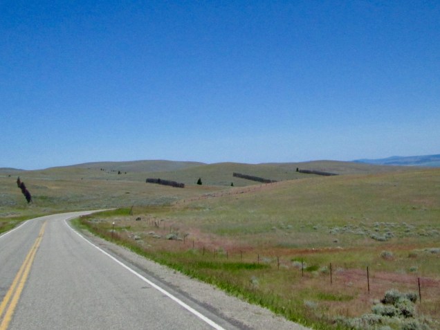
Big Snow Fences
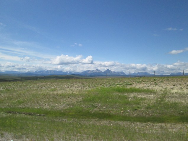
A Prairie Day
Clusters of Hay Bales. There were miles of fields full of them. The ranchers are getting ready for winter.


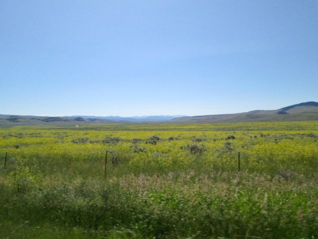
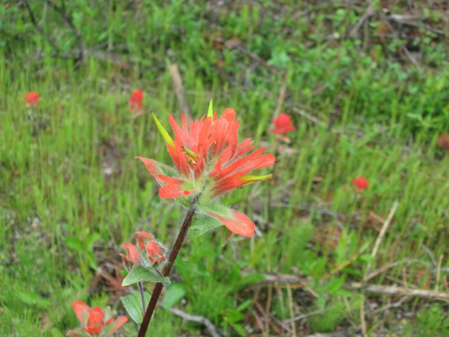
We’ve came across fields of pink flowers for a few days now

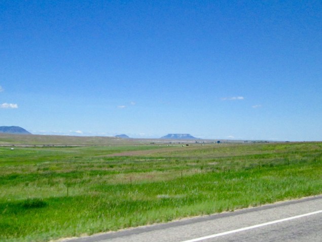
More time on the prairie.

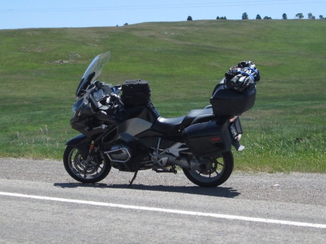
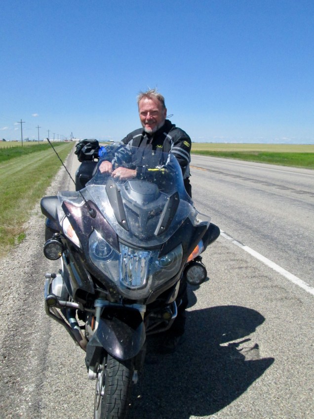
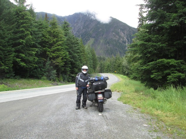
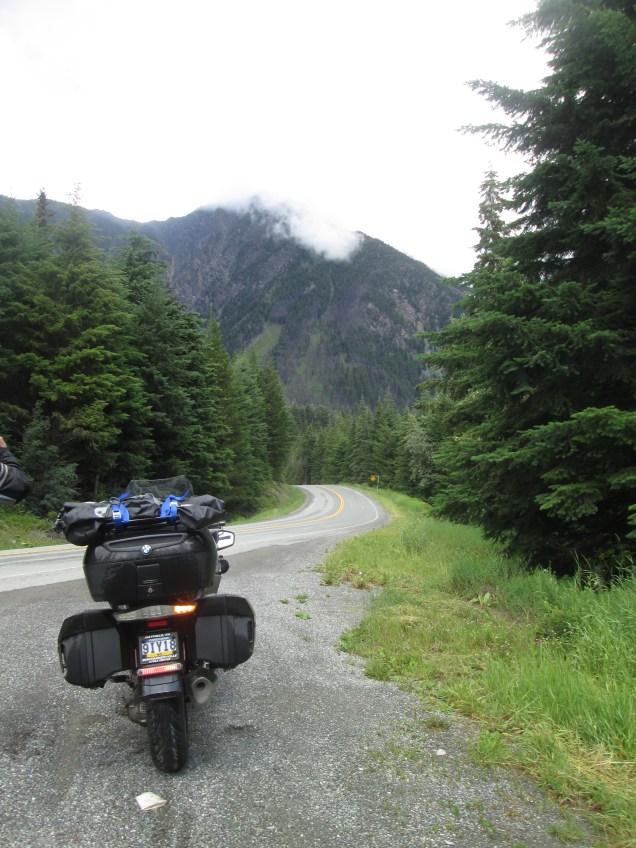
We love our bike and I love it’s rider.
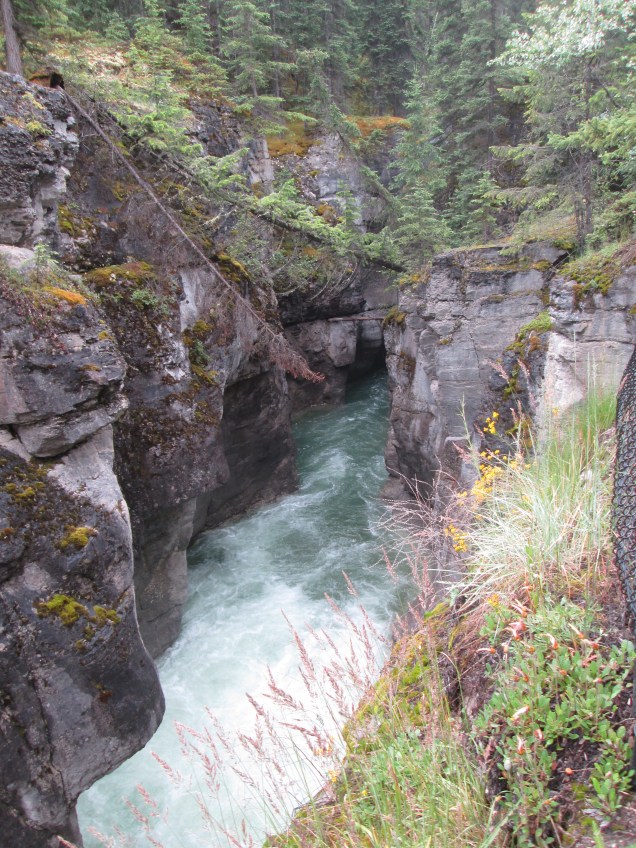
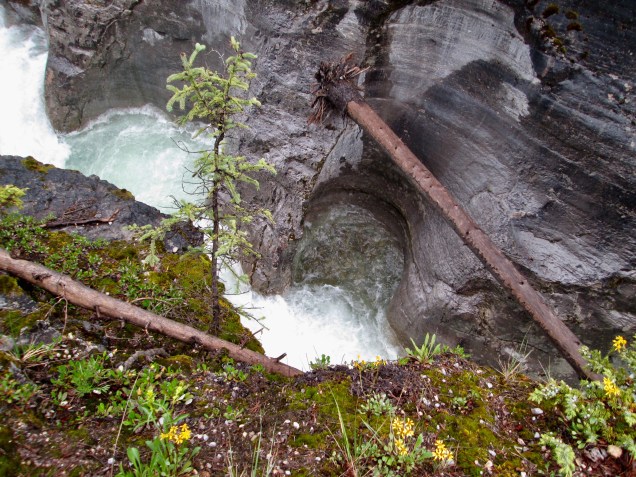
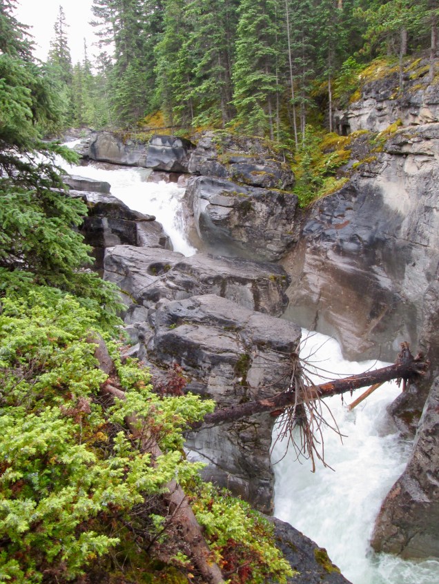
Tenacity of life


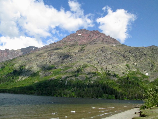


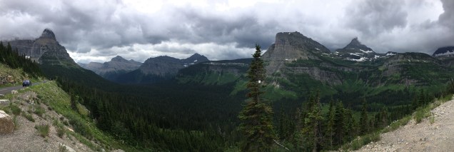


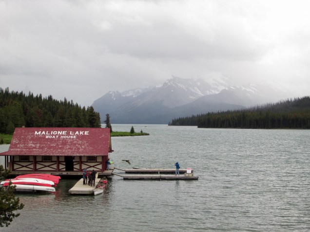


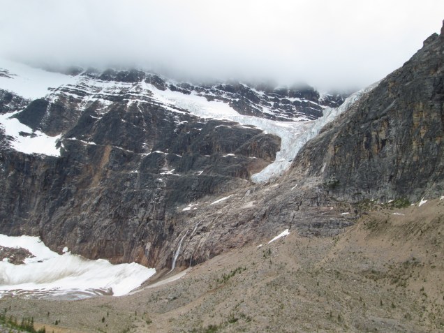

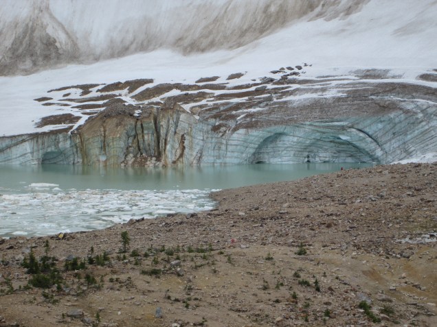
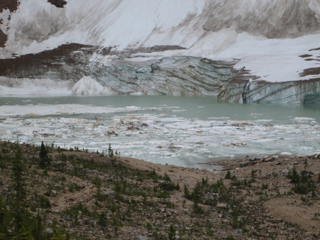


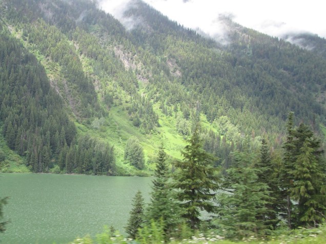


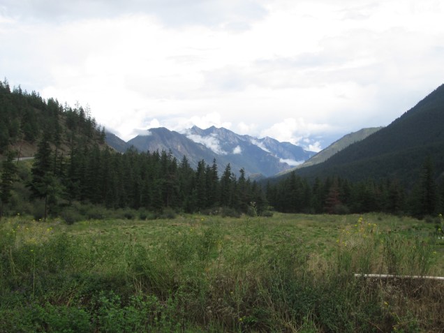
 Random beauty.